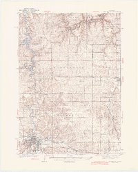
1935 Map of Rochester
USGS Topo · Published 1935About this map
Rochester sits at the convergence of the South Branch and Middle Branch Zumbro River, serving as a regional hub for medicine, agriculture, and power. The 1935 landscape is anchored by the sprawling Rochester State Hospital and the Olmsted County Fair grounds, while the Rochester Power House stands near the northern bend of the river. The surrounding townships are densely dotted with one-room schoolhouses like Coon Grove Sch, Webster Sch, and Madden Sch, reflecting a highly organized rural education system before mid-century consolidation.
Find a feature on this map
88 named features on this map. Tap any name to fly to it.
Don’t see what you’re looking for? This feature index may not catch every label — zoom into the map to look around manually.
Map Details
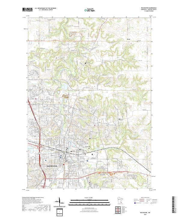
Editions of this 1935 Rochester Map
This is the sole edition of this map. No revisions or reprints were ever made.
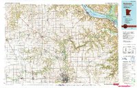
Historical Maps of Bremen Through Time
6 maps found