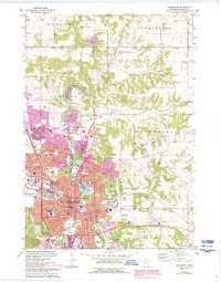
1972 Map of Rochester
USGS Topo · Published 1993About this map
Rochester is shown during a period of significant mid-century expansion, centered on the South Fork Zumbro River and the regulated waters of Silver Lake. The map reveals the city’s identity as a medical and educational hub, prominently featuring St Marys Hospital, the Olmsted Community Hospital, and the sprawling grounds of the Rochester State Hospital. The urban layout is densely packed with neighborhood schools like Adams Jr High Sch and Elton Hills Sch, while the city’s southern edges transition into recreational and institutional spaces such as Soldiers Field South Park and the Rochester Vocational Institute.
Find a feature on this map
65 named features on this map. Tap any name to fly to it.
Don’t see what you’re looking for? This feature index may not catch every label — zoom into the map to look around manually.
Map Details
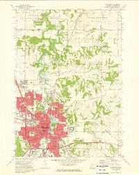
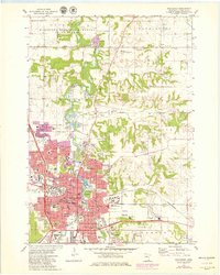
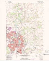
Editions of this 1972 Rochester Map
4 editions found
Other maps of this area

1935 · Rochester
USGS Topo · 1:48,000

1939 · Rochester
USGS Topo · 1:62,500

1953 · Saint Paul
USGS Topo · 1:250,000

1954 · Mason City
USGS Topo · 1:250,000

1955 · Stewartville
USGS Topo · 1:62,500

1955 · High Forest
USGS Topo · 1:62,500

1957 · Mason City
USGS Topo · 1:250,000

1958 · Mason City
USGS Topo · 1:250,000

1959 · Saint Paul
USGS Topo · 1:250,000

1965 · Oronoco
USGS Topo · 1:24,000