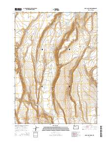
2014 Map of Rock Camp Draw
USGS Topo · Published 2014About this map
Rock Camp Lake and a complex network of ephemeral catchments define this high-desert terrain in Harney County. The landscape is marked by a sophisticated system of water management for livestock and wildlife, featuring uniquely named points such as Speck Waterhole, Flyspeck Waterhole, and Mulehole Waterhole. These features, along with larger impoundments like Drum Reservoir and Con-Drum Reservoir, illustrate the critical importance of water security in the Great Basin.
Find a feature on this map
33 named features on this map. Tap any name to fly to it.
Don’t see what you’re looking for? This feature index may not catch every label — zoom into the map to look around manually.
Map Details
Editions of this 2014 Rock Camp Draw Map
This is the sole edition of this map. No revisions or reprints were ever made.
Other maps of this area

1955 · Burns
USGS Topo · 1:250,000

1955 · Adel
USGS Topo · 1:250,000

1957 · Adel
USGS Topo · 1:250,000

1958 · Burns
USGS Topo · 1:250,000

1958 · Adel
USGS Topo · 1:250,000

1959 · Burns
USGS Topo · 1:250,000

1962 · Adel
USGS Topo · 1:250,000

1971 · Steamboat Point
USGS Topo · 1:24,000

1971 · Orejana Canyon
USGS Topo · 1:24,000

1971 · Rock Camp Draw
USGS Topo · 1:24,000