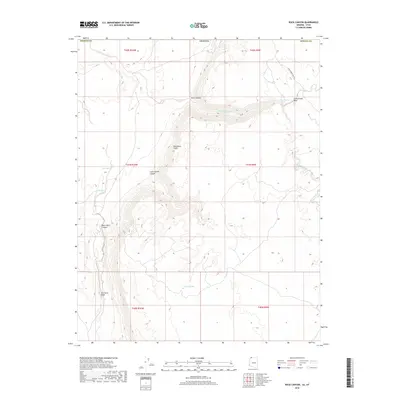
2018 Map of Rock Canyon
USGS Topo · Published 2018About this map
Hurricane Cliffs dominate this arid section of Mohave County, forming a massive geological break that divides the landscape into distinct elevations. The 2018 survey reveals a terrain defined by dramatic vertical relief, where Rock Canyon and Cottonwood Canyon cut deeply through the escarpment. Historically significant pathways like Honeymoon Trail Rd traverse the northern reaches, following a route used by late 19th-century travelers.
Find a feature on this map
21 named features on this map. Tap any name to fly to it.
Don’t see what you’re looking for? This feature index may not catch every label — zoom into the map to look around manually.
Map Details
Editions of this 2018 Rock Canyon Map
This is the sole edition of this map. No revisions or reprints were ever made.
Other maps of this area

1885 · St. George
USGS Topo · 1:250,000

1886 · Mt. Trumbull
USGS Topo · 1:250,000

1891 · St. George
USGS Topo · 1:250,000

1892 · Mt. Trumbull
USGS Topo · 1:250,000

1953 · Cedar City
USGS Topo · 1:250,000

1953 · Grand Canyon
USGS Topo · 1:250,000

1954 · La Verkin 4 SW
USGS Topo · 1:24,000

1954 · Hurricane Cliffs 2 NW
USGS Topo · 1:24,000

1954 · Hurricane Cliffs 2 NE
USGS Topo · 1:24,000

1954 · La Verkin 3 SE
USGS Topo · 1:24,000