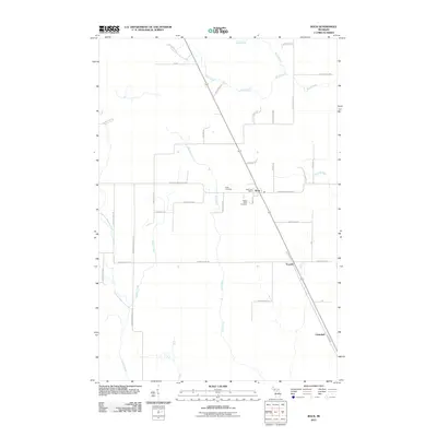
2011 Map of Rock
USGS Topo · Published 2011About this map
Rock serves as the central hub of this Upper Peninsula landscape, where the Rock Post Office and nearby Rock Cemetery anchor a community defined by its grid of rural roads and waterways. The area is heavily intersected by several significant drainage systems, including the southward-flowing Days River, the Rapid River in the north, and the Tacoosh River to the east. These watercourses, along with smaller tributaries like Squaw Creek and Mud Creek, shaped the original settlement patterns of Maple Ridge Township.
Find a feature on this map
41 named features on this map. Tap any name to fly to it.
Don’t see what you’re looking for? This feature index may not catch every label — zoom into the map to look around manually.
Map Details
Editions of this 2011 Rock Map
This is the sole edition of this map. No revisions or reprints were ever made.
Other maps of this area

1932 · Gladstone NE
USGS Topo · 1:31,680

1932 · Rock SW
USGS Topo · 1:31,680

1932 · Helena NE
USGS Topo · 1:31,680

1932 · Rock NE
USGS Topo · 1:31,680

1932 · Rock SE
USGS Topo · 1:31,680

1932 · Whitney NE
USGS Topo · 1:31,680

1932 · Rock NW
USGS Topo · 1:31,680

1932 · Helena
USGS Topo · 1:31,680

1932 · Gladstone NW
USGS Topo · 1:31,680

1950 · Gladstone NW
USGS Topo · 1:31,680