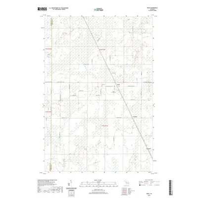
2019 Map of Rock
USGS Topo · Published 2019About this map
Rock and the surrounding timberlands of Delta County are documented in this 2019 survey, illustrating the persistence of rural communities in Michigan's Upper Peninsula. The landscape is defined by the headwaters of multiple river systems, including the Rapid River, Days River, and Tacoosh River, which weave through the townships alongside smaller streams like Mud Cr and Indian Cr. These waterways historically drove the regional economy and continue to shape the layout of local roads such as Days River Rd. Settlement patterns remain concentrated around the small village centers of Trombly and Campbell. Local heritage is anchored by sites like Rock Cem and Maple Ridge Cem, while the grid of farm-to-market roads, including W Maple Ridge 37th Rd and Finn Hall 38th Rd, reflects the agricultural and residential development of Maple Ridge Township.
Find a feature on this map
50 named features on this map. Tap any name to fly to it.
Don’t see what you’re looking for? This feature index may not catch every label — zoom into the map to look around manually.
Map Details
Editions of this 2019 Rock Map
This is the sole edition of this map. No revisions or reprints were ever made.
Other maps of this area

1932 · Gladstone NE
USGS Topo · 1:31,680

1932 · Rock SW
USGS Topo · 1:31,680

1932 · Helena NE
USGS Topo · 1:31,680

1932 · Rock NE
USGS Topo · 1:31,680

1932 · Rock SE
USGS Topo · 1:31,680

1932 · Whitney NE
USGS Topo · 1:31,680

1932 · Rock NW
USGS Topo · 1:31,680

1932 · Helena
USGS Topo · 1:31,680

1932 · Gladstone NW
USGS Topo · 1:31,680

1950 · Gladstone NW
USGS Topo · 1:31,680