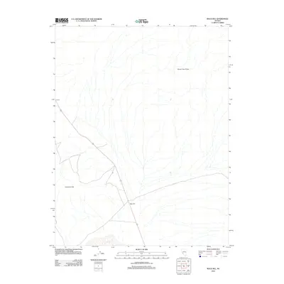
2012 Map of Rock Hill
USGS Topo · Published 2012About this map
Monte Cristo Range and the Candelaria Hills dominate this portion of the high Nevada desert, providing a detailed look at the arid landscape of Esmeralda County in the early 21st century. The map centers on the small settlement of Rock Hill, situated along the corridor of Route 95, which serves as the primary artery through this sparsely populated region. To the northwest, the map captures the location of Redlich, another named point along the highway. The intricate contour lines and drainage patterns illustrate the complex alluvial fans and seasonal washes that characterize the terrain between these desert uplands, offering a clear record of the area's physical geography and its few established transportation landmarks.
Find a feature on this map
5 named features on this map. Tap any name to fly to it.
Don’t see what you’re looking for? This feature index may not catch every label — zoom into the map to look around manually.
Map Details
Editions of this 2012 Rock Hill Map
This is the sole edition of this map. No revisions or reprints were ever made.
Other maps of this area

1907 · Tonopah
USGS Topo · 1:250,000

1908 · Tonopah
USGS Topo · 1:250,000

1909 · Hawthorne
USGS Topo · 1:250,000

1911 · Hawthorne
USGS Topo · 1:250,000

1915 · Hawthorne
USGS Topo · 1:250,000

1948 · Walker Lake
USGS Topo · 1:250,000

1956 · Tonopah
USGS Topo · 1:250,000

1957 · Walker Lake
USGS Topo · 1:250,000

1959 · Tonopah
USGS Topo · 1:250,000

1962 · Walker Lake
USGS Topo · 1:250,000