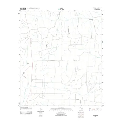
2012 Map of Rock Hill
USGS Topo · Published 2012About this map
Rock Hill and the surrounding pine-draped landscapes of northern Walton County are meticulously documented in this 2012 survey. The area is defined by a dense network of tributaries including Magnolia Cr, Lafayette Cr, and Seven Runs, which cut through the terrain toward larger drainage basins. Small rural clusters like Owls Head and Steep Head remain connected by a web of local roads such as Ed Brown Field Rd and High Lonesome Rd, reflecting a community structure tied to the land.
Find a feature on this map
47 named features on this map. Tap any name to fly to it.
Don’t see what you’re looking for? This feature index may not catch every label — zoom into the map to look around manually.
Map Details
Editions of this 2012 Rock Hill Map
This is the sole edition of this map. No revisions or reprints were ever made.
Other maps of this area

1935 · De Funiak Springs
USGS Topo · 1:48,000

1936 · Point Washington
USGS Topo · 1:48,000

1938 · De Funiak Springs
USGS Topo · 1:62,500

1939 · Point Washington
USGS Topo · 1:62,500

1944 · Bruce
USGS Topo · 1:24,000

1945 · Bruce
USGS Topo · 1:31,680

1948 · Ponce De Leon
USGS Topo · 1:24,000

1949 · Redbay
USGS Topo · 1:24,000

1950 · Ponce De Leon
USGS Topo · 1:24,000

1950 · Redbay
USGS Topo · 1:24,000