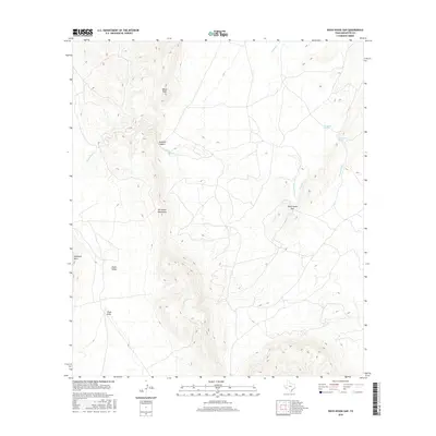
2016 Map of Rock House Gap
USGS Topo · Published 2016About this map
Del Norte Mountains define the central axis of this landscape in Brewster County, where the high desert terrain transitions into steep peaks and narrow passages. The topographic detail highlights Rock House Gap, a notable break in the mountain range that historically served as a critical passage through the region. Water sources, vital for survival in this arid environment, are concentrated at Monument Spring and Monument Springs, feeding the seasonal flow of Monument Cr.
Find a feature on this map
12 named features on this map. Tap any name to fly to it.
Don’t see what you’re looking for? This feature index may not catch every label — zoom into the map to look around manually.
Map Details
Editions of this 2016 Rock House Gap Map
This is the sole edition of this map. No revisions or reprints were ever made.
Other maps of this area

1895 · Alpine
USGS Topo · 1:125,000

1917 · Santiago Peak
USGS Topo · 1:62,500

1917 · Buck Hill
USGS Topo · 1:62,500

1918 · Bone Spring
USGS Topo · 1:125,000

1918 · Buck Hill
USGS Topo · 1:62,500

1918 · Santiago Peak
USGS Topo · 1:62,500

1920 · Monument Spring
USGS Topo · 1:62,500

1921 · Monument Spring
USGS Topo · 1:62,500

1925 · Buck Hill
USGS Topo · 1:62,500
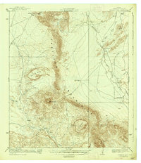
1938 · Santiago Peak
USGS Topo · 1:62,500