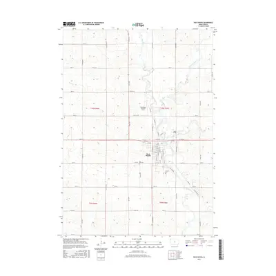
2015 Map of Rock Rapids
USGS Topo · Published 2015About this map
Rock Rapids sits at the confluence of several significant waterways in Lyon County, including the Rock River and Kanaranzi Creek. The town's grid is anchored by Iowa 9 St, while its community history is preserved at Holy Name Cem and Riverside Cem. The landscape is defined by the winding paths of Tom Creek and Moon Cr, which cut through the surrounding agricultural sections. Of particular note is the Melan Bridge, a distinct local landmark crossing the water. North of the main settlement, the Rock Rapids Municipal Airport serves as a modern transportation hub. The map provides a detailed look at the rural road network, from local routes like Mill Pond Rd to established county highways, reflecting the enduring connection between the town and the surrounding plains.
Find a feature on this map
50 named features on this map. Tap any name to fly to it.
Don’t see what you’re looking for? This feature index may not catch every label — zoom into the map to look around manually.
Map Details
Editions of this 2015 Rock Rapids Map
This is the sole edition of this map. No revisions or reprints were ever made.
Other maps of this area

1955 · Sioux Falls
USGS Topo · 1:250,000

1958 · Sioux Falls
USGS Topo · 1:250,000

1967 · Hills
USGS Topo · 1:24,000

1967 · Ellsworth
USGS Topo · 1:24,000

1967 · Ash Creek
USGS Topo · 1:24,000

1971 · Edna
USGS Topo · 1:24,000

1971 · Lester
USGS Topo · 1:24,000

1971 · George West
USGS Topo · 1:24,000

1971 · Rock Rapids
USGS Topo · 1:24,000

1971 · Doon
USGS Topo · 1:24,000