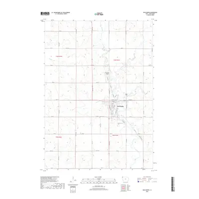
2018 Map of Rock Rapids
USGS Topo · Published 2018About this map
The city of Rock Rapids serves as the geographic and civic heart of this Lyon County map, situated where the Rock River meets Kanaranzi Creek and Moon Cr. The urban layout is clearly defined by a grid of numbered streets and avenues, including S 2nd Ave and 12th Ave, which connect the residential and commercial blocks to the surrounding agricultural landscape. Two significant burial grounds, Riverside Cem and Holy Name Cem, flank the southern edge of the town center, providing important reference points for family historians.
Find a feature on this map
56 named features on this map. Tap any name to fly to it.
Don’t see what you’re looking for? This feature index may not catch every label — zoom into the map to look around manually.
Map Details
Editions of this 2018 Rock Rapids Map
This is the sole edition of this map. No revisions or reprints were ever made.
Other maps of this area

1955 · Sioux Falls
USGS Topo · 1:250,000

1958 · Sioux Falls
USGS Topo · 1:250,000

1967 · Hills
USGS Topo · 1:24,000

1967 · Ellsworth
USGS Topo · 1:24,000

1967 · Ash Creek
USGS Topo · 1:24,000

1971 · Edna
USGS Topo · 1:24,000

1971 · Lester
USGS Topo · 1:24,000

1971 · George West
USGS Topo · 1:24,000

1971 · Rock Rapids
USGS Topo · 1:24,000

1971 · Doon
USGS Topo · 1:24,000