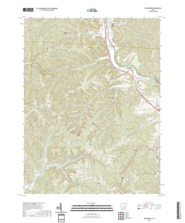
2023 Map of Rockbridge
USGS Topo · Published 2023About this map
Rockbridge serves as the primary settlement on this Fairfield and Hocking County borderlands map, situated along the Hocking River. The terrain is defined by a dense network of hollows and ridges, including Toad Hollow, Wildcat Hollow, and Kreachbaum Ridge, which transition into the dramatic geography of Cantwell Cliffs. This area reveals a significant number of family and community burial grounds, such as the Old Catholic Cem, Hansen Cem, and McBroom Cem, reflecting a long-established rural population. The drainage patterns are intricate, with Clear Creek, Brushy Fork, and Buck Run cutting through the landscape. The map captures the meeting of the Logan-Lancaster Rd and local routes like Opossum Hollow Rd, illustrating the intersection of modern transit and historical land use in this part of Ohio.
Find a feature on this map
113 named features on this map. Tap any name to fly to it.
Don’t see what you’re looking for? This feature index may not catch every label — zoom into the map to look around manually.
Map Details
Editions of this 2023 Rockbridge Map
This is the sole edition of this map. No revisions or reprints were ever made.
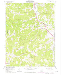
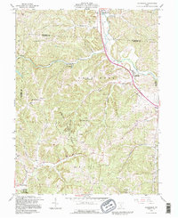
Historical Maps of Mound Crossing Through Time
3 maps found