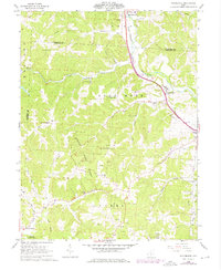
1961 Map of Rockbridge
USGS Topo · Published 1976About this map
The Hocking River carves through a landscape of deep hollows and high ridges at the boundary of Berne and Good Hope townships. This 1961 survey captures the rural character of Hocking County before modern development, centered on the village of Rockbridge and the northern settlement of Sugar Grove. The Chesapeake and Ohio railroad follows the river valley, a vital artery for the region's extractive and agricultural economy.
Find a feature on this map
46 named features on this map. Tap any name to fly to it.
Don’t see what you’re looking for? This feature index may not catch every label — zoom into the map to look around manually.
Map Details
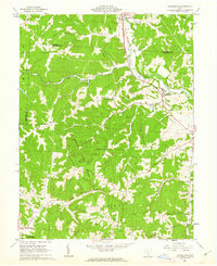
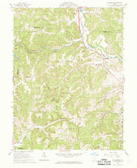
Editions of this 1961 Rockbridge Map
Other maps of this area

1904 · Zaleski
USGS Topo · 1:62,500

1907 · Zaleski
USGS Topo · 1:62,500

1907 · Logan
USGS Topo · 1:62,500

1907 · Lancaster
USGS Topo · 1:62,500

1909 · Lancaster
USGS Topo · 1:62,500

1909 · Logan
USGS Topo · 1:62,500

1910 · Laurelville
USGS Topo · 1:62,500

1912 · Laurelville
USGS Topo · 1:62,500

1944 · Laurelville
USGS Topo · 1:62,500

1947 · Columbus
USGS Topo · 1:250,000