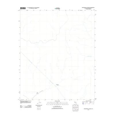
2012 Map of Rockhouse Canyon
USGS Topo · Published 2012About this map
The Colorado River Aqueduct cuts a prominent diagonal across this desert landscape, a testament to the massive infrastructure required to move water through the arid regions of Riverside County. This 2012 survey illustrates the rugged desert topography defined by erosion and drainage, most notably in Rockhouse Canyon and Fargo Canyon. While the area remains largely undeveloped, the presence of Fargo Canyon Rd in the southwest corner indicates the primary access point into this challenging environment. To the east, Washington Wash further defines the drainage patterns that have shaped this terrain over millennia.
Find a feature on this map
5 named features on this map. Tap any name to fly to it.
Don’t see what you’re looking for? This feature index may not catch every label — zoom into the map to look around manually.
Map Details
Editions of this 2012 Rockhouse Canyon Map
This is the sole edition of this map. No revisions or reprints were ever made.
Other maps of this area

1904 · Indio
USGS Topo · 1:125,000

1940 · Cottonwood Spring
USGS Topo · 1:62,500

1941 · Coachella
USGS Topo · 1:62,500

1943 · Coachella
USGS Topo · 1:62,500

1943 · Pinkham Well
USGS Topo · 1:62,500

1944 · Cottonwood Spring
USGS Topo · 1:62,500

1944 · Pinkham Well
USGS Topo · 1:62,500

1944 · Pinyon Well
USGS Topo · 1:62,500

1947 · Santa Ana
USGS Topo · 1:250,000

1949 · Santa Ana
USGS Topo · 1:250,000