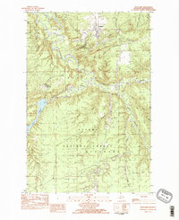
1982 Map of Rockland
USGS Topo · Published 1983About this map
Rockland and Victoria anchor this industrial and wilderness landscape in the Upper Peninsula, where the complex waterways of Ontonagon County meet the heavy infrastructure of the copper mining era. The map traces the varied terrain of the Ottawa National Forest, characterized by prominent landmarks like South Bluff and Military Hill. The hydro-electric potential of the region is evident at the Victoria Reservoir, supported by a Dam and Power Plant that dominate the western portion of the sheet.
Find a feature on this map
35 named features on this map. Tap any name to fly to it.
Don’t see what you’re looking for? This feature index may not catch every label — zoom into the map to look around manually.
Map Details
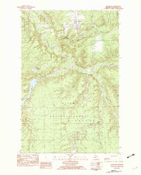
Editions of this 1982 Rockland Map
2 editions found
Other maps of this area

1949 · Rockland
USGS Topo · 1:62,500

1950 · Greenland
USGS Topo · 1:62,500

1951 · Rockland
USGS Topo · 1:62,500

1951 · Greenland
USGS Topo · 1:62,500

1955 · Ontonagon
USGS Topo · 1:62,500

1956 · Matchwood
USGS Topo · 1:62,500

1958 · Iron River
USGS Topo · 1:250,000

1960 · Iron River
USGS Topo · 1:250,000

1961 · Iron River
USGS Topo · 1:250,000

1967 · Iron River
USGS Topo · 1:250,000