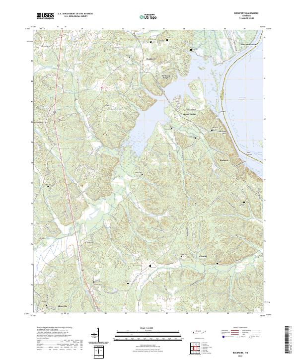
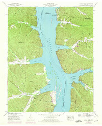
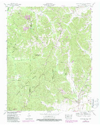
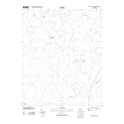
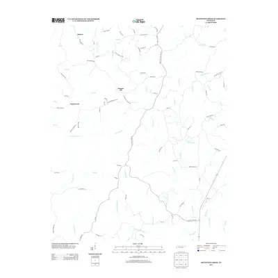
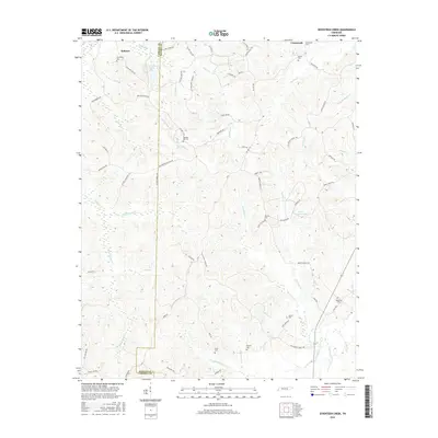
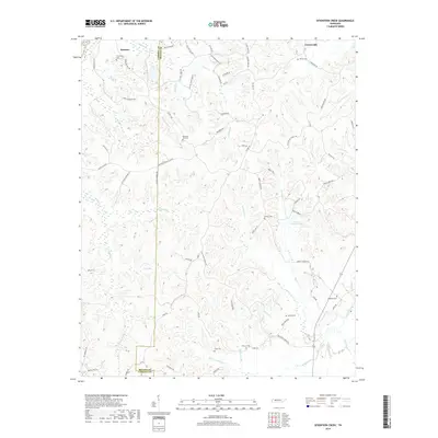
2022 Map of Rockport
USGS Topo · Published 2022About this map
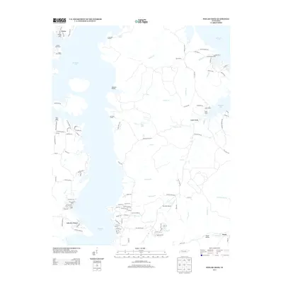
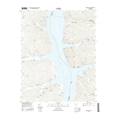
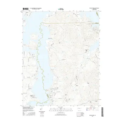
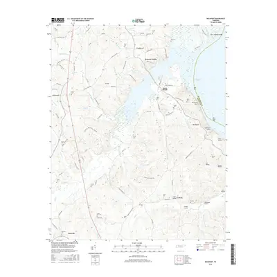
The Tennessee River and the expansive Kentucky Lake dominate the eastern edge of this region, shaping the local geography from New Johnsonville down to the Duck River Bar. The landscape is a network of ridges and hollows, where family-named landmarks like McCauleys Bluff and Suck Bar overlook the water. Moving inland, the terrain is defined by winding watercourses such as Birdsong Creek and Eagle Cr, which are bordered by numerous small settlements and family cemeteries that speak to the area's deep-rooted genealogy.
Find a feature on this map
117 named features on this map. Tap any name to fly to it.
Don’t see what you’re looking for? This feature index may not catch every label — zoom into the map to look around manually.
Map Details
Editions of this 2022 Rockport Map
This is the sole edition of this map. No revisions or reprints were ever made.
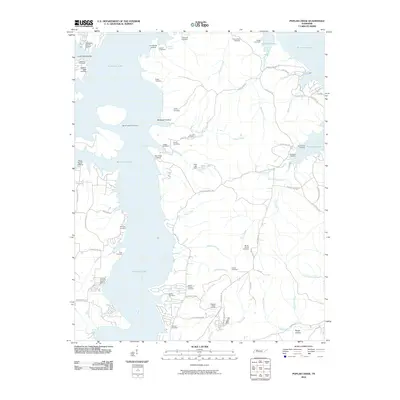
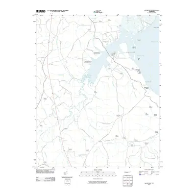
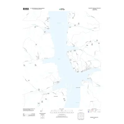
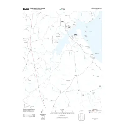
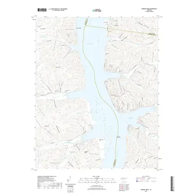
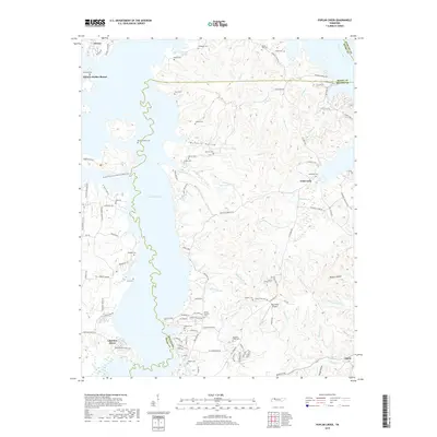
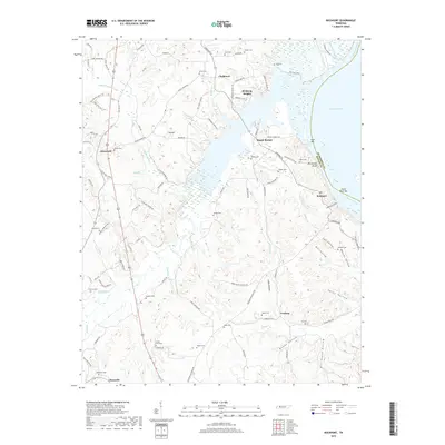
Historical Maps of Camden Through Time
28 maps found
1936 Harmon Creek
Benton County, TN
1936 Poplar Creek
Benton County, TN
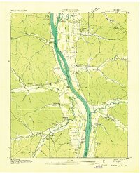
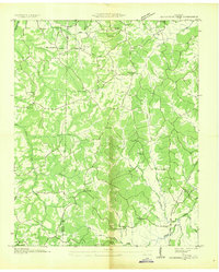
1936 Rockport
Benton County, TN
1936 Seventeen Creek
Benton County, TN
1949 Harmon Creek
Benton County, TN
1949 Poplar Creek
Benton County, TN
1950 Rockport
Benton County, TN
1950 Seventeen Creek
Benton County, TN
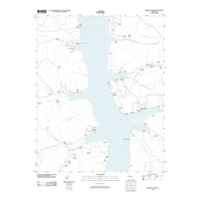
2010 Harmon Creek
Benton County, TN
2010 Poplar Creek
Benton County, TN
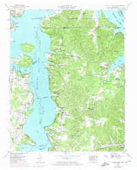
2010 Rockport
Benton County, TN
2010 Seventeen Creek
Benton County, TN
2013 Harmon Creek
Benton County, TN
2013 Poplar Creek
Benton County, TN
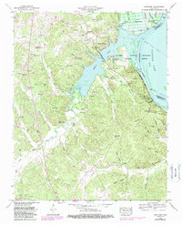
2013 Rockport
Benton County, TN
2013 Seventeen Creek
Benton County, TN
2016 Harmon Creek
Benton County, TN
2016 Poplar Creek
Benton County, TN
2016 Rockport
Benton County, TN
2016 Seventeen Creek
Benton County, TN
2019 Harmon Creek
Benton County, TN
2019 Poplar Creek
Benton County, TN
2019 Rockport
Benton County, TN
2019 Seventeen Creek
Benton County, TN
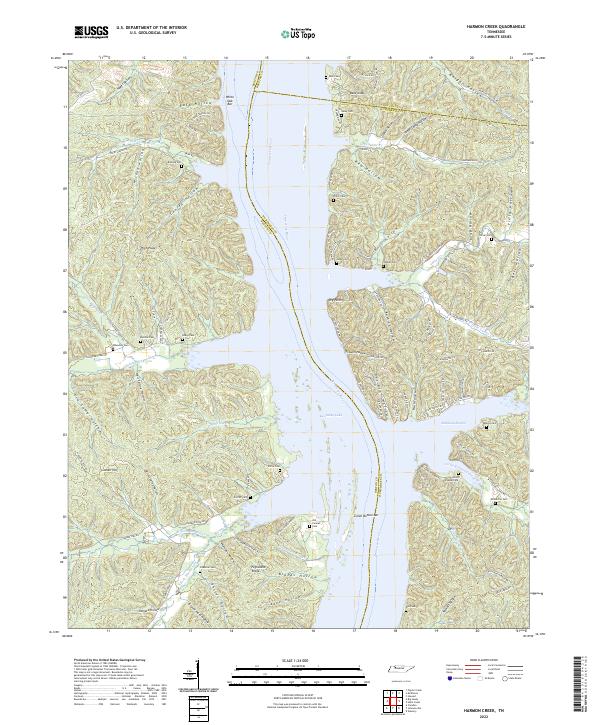
2022 Harmon Creek
Benton County, TN
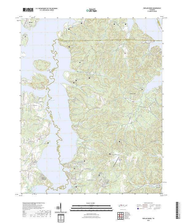
2022 Poplar Creek
Benton County, TN
2022 Rockport
Benton County, TN
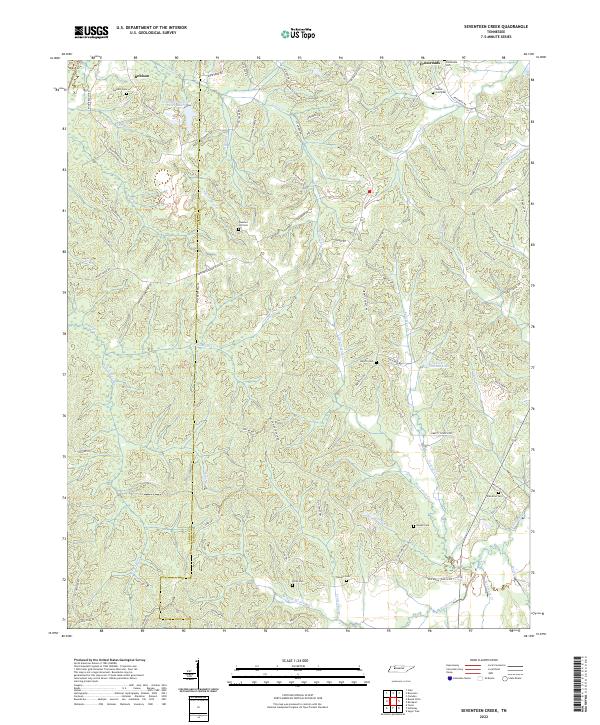
2022 Seventeen Creek
Benton County, TN