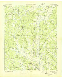
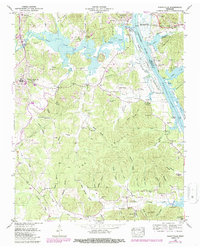
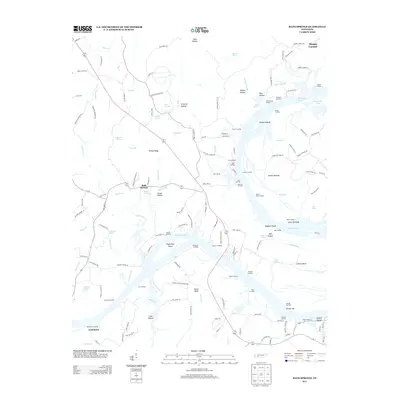
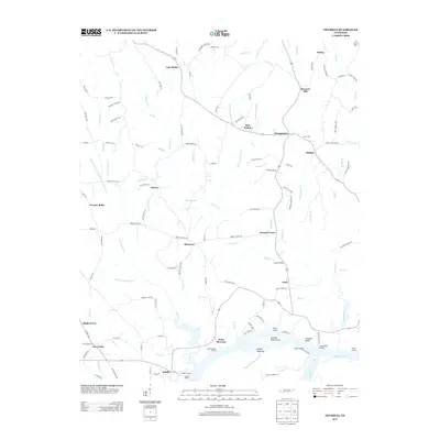
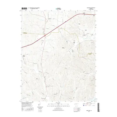
1936 Map of Cavvia
USGS Topo · Published 1936About this map
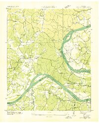
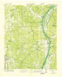
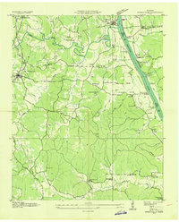
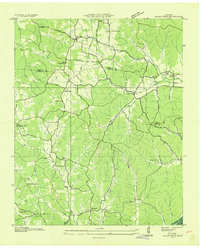
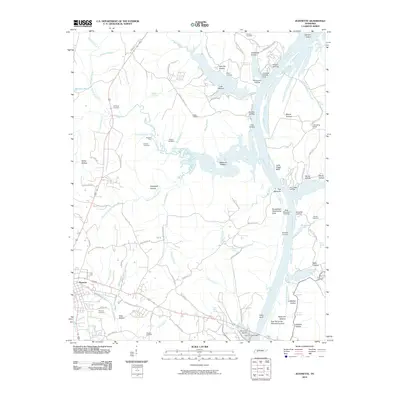
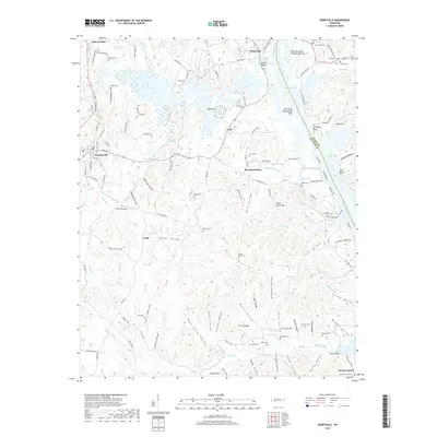
Birdsong Creek and its many winding tributaries define this 1930s landscape where Benton, Carroll, Decatur, and Henderson counties meet. The settlement of Cavvia serves as a central point in a network of rural roads connecting scattered family farms and local institutions. This era was characterized by small, self-contained communities organized around country schools like Poplar Springs Sch and Rocky Hill Sch, and spiritual centers such as Shiloh Ch and Christian Chapel.
Find a feature on this map
47 named features on this map. Tap any name to fly to it.
Don’t see what you’re looking for? This feature index may not catch every label — zoom into the map to look around manually.
Map Details
Editions of this 1936 Cavvia Map
This is the sole edition of this map. No revisions or reprints were ever made.
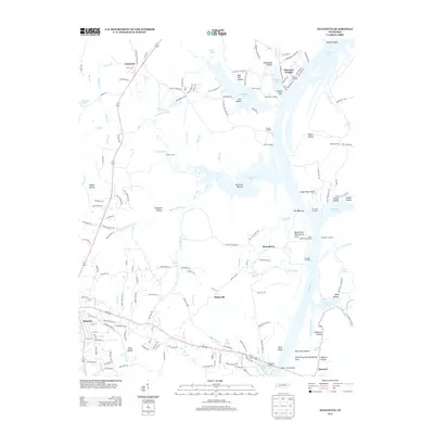
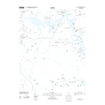
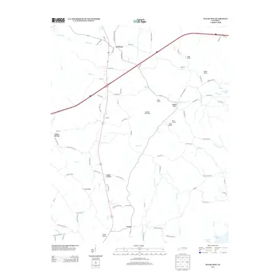
Historical Maps of Holladay Through Time
36 maps found
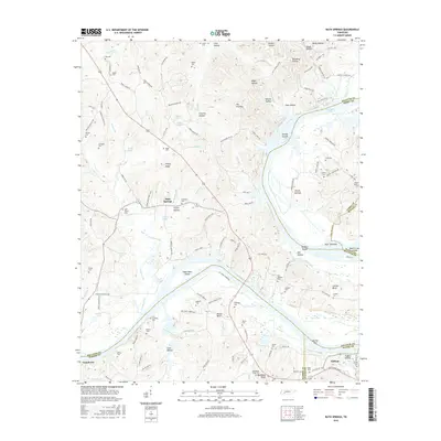
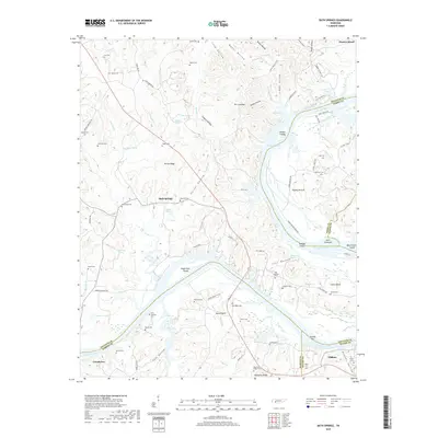
1936 Bath Springs
Decatur County, TN
1936 Cavvia
Decatur County, TN
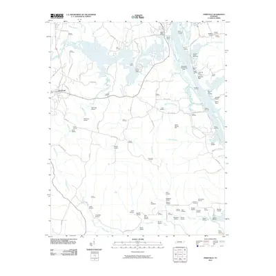
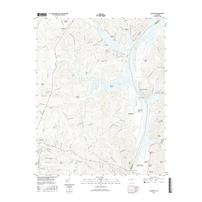
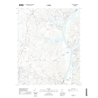
1936 Jeannette
Decatur County, TN
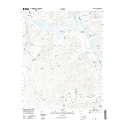
1936 Perryville
Decatur County, TN
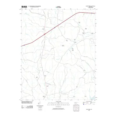
1936 Sugar Tree
Decatur County, TN
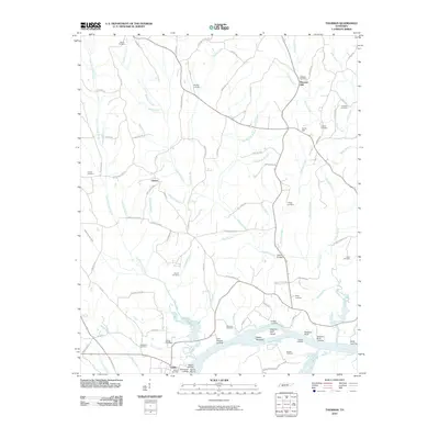
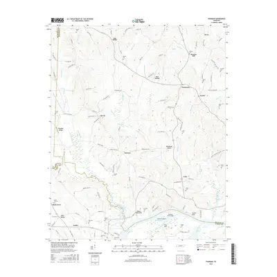
1936 Thurman
Decatur County, TN
1949 Bath Springs
Decatur County, TN
1949 Jeannette
Decatur County, TN
1949 Perryville
Decatur County, TN
1949 Sugar Tree
Decatur County, TN
1949 Thurman
Decatur County, TN
2010 Bath Springs
Decatur County, TN
2010 Jeannette
Decatur County, TN
2010 Perryville
Decatur County, TN
2010 Sugar Tree
Decatur County, TN
2010 Thurman
Decatur County, TN
2013 Bath Springs
Decatur County, TN
2013 Jeannette
Decatur County, TN
2013 Perryville
Decatur County, TN
2013 Sugar Tree
Decatur County, TN
2013 Thurman
Decatur County, TN
2016 Bath Springs
Decatur County, TN
2016 Jeannette
Decatur County, TN
2016 Perryville
Decatur County, TN
2016 Sugar Tree
Decatur County, TN
2016 Thurman
Decatur County, TN
2019 Bath Springs
Decatur County, TN
2019 Jeannette
Decatur County, TN
2019 Perryville
Decatur County, TN
2019 Sugar Tree
Decatur County, TN
2019 Thurman
Decatur County, TN
2022 Bath Springs
Decatur County, TN
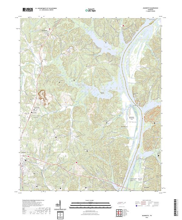
2022 Jeannette
Decatur County, TN
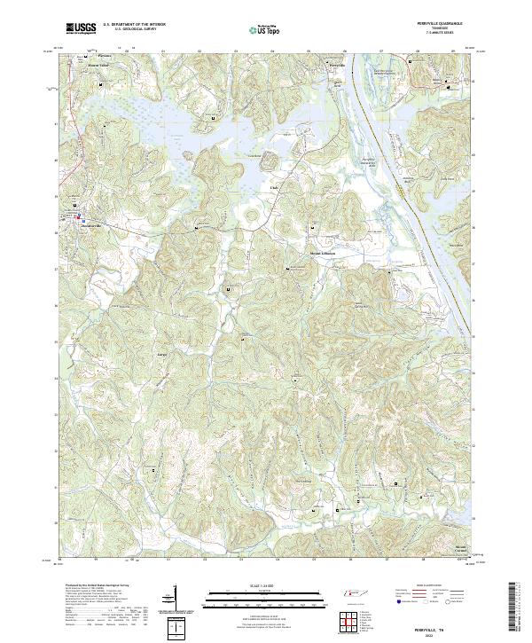
2022 Perryville
Decatur County, TN
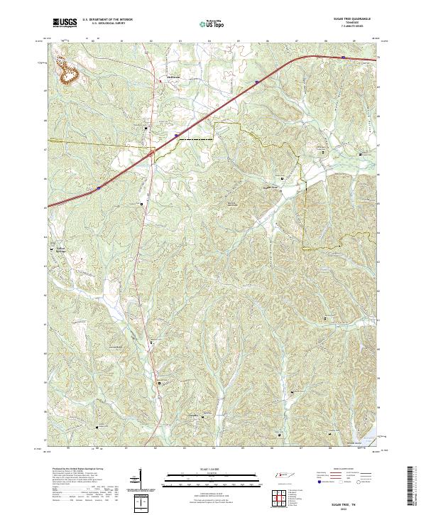
2022 Sugar Tree
Decatur County, TN
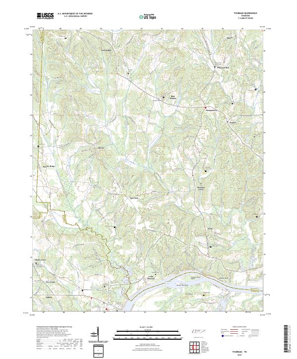
2022 Thurman
Decatur County, TN