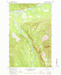
1966 Map of Rockport
USGS Topo · Published 1982About this map
Rockport sits at the confluence of the mighty Skagit River and the Sauk River, serving as a vital focal point for this 1960s river-valley survey. The settlement's connection to the era's land management is evident in the presence of the Ranger Sta and the surrounding Rockport State Park. The landscape is defined by its complex hydrology, featuring numerous secondary waterways like Mc Leod Slough, Barnaby Slough, and Illabot Creek.
Find a feature on this map
34 named features on this map. Tap any name to fly to it.
Don’t see what you’re looking for? This feature index may not catch every label — zoom into the map to look around manually.
Map Details
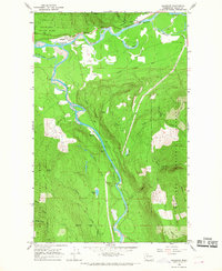
Editions of this 1966 Rockport Map
2 editions found
Other maps of this area

1899 · Glacier Peak
USGS Topo · 1:125,000

1899 · Stillaguamish
USGS Topo · 1:125,000

1901 · Glacier Peak
USGS Topo · 1:125,000

1901 · Stilaguamish
USGS Topo · 1:125,000

1909 · Mt Baker
USGS Topo · 1:192,000

1915 · Mt. Baker
USGS Topo · 1:250,000

1952 · Lake Shannon
USGS Topo · 1:62,500

1953 · Marblemount
USGS Topo · 1:62,500

1955 · Concrete
USGS Topo · 1:250,000

1958 · Concrete
USGS Topo · 1:250,000