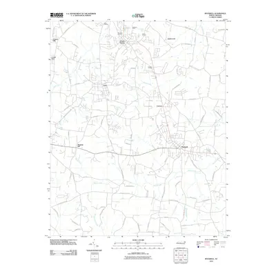
2010 Map of Rockwell
USGS Topo · Published 2010About this map
The Old Stone House stands as a primary landmark in this Rowan County landscape, surrounded by several rural settlements including Granite Quarry, Faith, and Rockwell. The map documents a transition from the historic mill sites and family farms that once defined the region to a more modern residential pattern, seen in developments like Orchard Hills and Timbercreek. This 2010 survey illustrates the enduring importance of local landmarks such as Shiloh Cemetery and the Wittenberg Cemetery, which anchor the area's genealogical history.
Find a feature on this map
79 named features on this map. Tap any name to fly to it.
Don’t see what you’re looking for? This feature index may not catch every label — zoom into the map to look around manually.
Map Details
Editions of this 2010 Rockwell Map
This is the sole edition of this map. No revisions or reprints were ever made.
Other maps of this area

1893 · Statesville
USGS Topo · 1:125,000

1941 · Charlotte
USGS Topo · 1:125,000

1942 · Charlotte
USGS Topo · 1:125,000

1950 · Concord
USGS Topo · 1:24,000

1953 · Charlotte
USGS Topo · 1:250,000

1954 · Charlotte
USGS Topo · 1:250,000

1957 · Mount Pleasant
USGS Topo · 1:62,500

1960 · Charlotte
USGS Topo · 1:250,000

1962 · Charlotte
USGS Topo · 1:250,000

1962 · Southmont
USGS Topo · 1:24,000