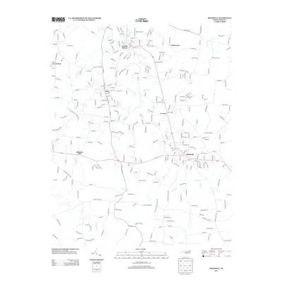
2013 Map of Rockwell
USGS Topo · Published 2013About this map
Granite Quarry and the surrounding Rowan County landscape are defined by a network of established settlements and winding creek beds in this early 21st-century study. The map illustrates a densely populated corridor following the highway system, connecting Rockwell in the southeast to Faith and Crescent. This area retains significant historical markers of its industrial and domestic past, including the landmark Old Stone House near the northern edge and Shupings Mill situated along Second Creek. The terrain is deeply carved by water, with Crane Creek and Jennie Wolf Creek draining the land between rural residential developments like Correll Park and Timbercreek. This layout highlights the transition of a traditionally quarry-focused and agricultural region into a more modern residential landscape while maintaining its distinct small-town nodes.
Find a feature on this map
272 named features on this map. Tap any name to fly to it.
Don’t see what you’re looking for? This feature index may not catch every label — zoom into the map to look around manually.
Map Details
Editions of this 2013 Rockwell Map
This is the sole edition of this map. No revisions or reprints were ever made.
Other maps of this area

1893 · Statesville
USGS Topo · 1:125,000

1941 · Charlotte
USGS Topo · 1:125,000

1942 · Charlotte
USGS Topo · 1:125,000

1950 · Concord
USGS Topo · 1:24,000

1953 · Charlotte
USGS Topo · 1:250,000

1954 · Charlotte
USGS Topo · 1:250,000

1957 · Mount Pleasant
USGS Topo · 1:62,500

1960 · Charlotte
USGS Topo · 1:250,000

1962 · Charlotte
USGS Topo · 1:250,000

1962 · Southmont
USGS Topo · 1:24,000