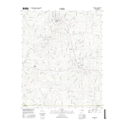
2016 Map of Rockwell
USGS Topo · Published 2016About this map
Granite Quarry and the surrounding Rowan County landscape are defined by a network of small settlements and watercourses including Crane Cr and Second Cr. This area south of Salisbury shows a clear pattern of development along the transportation corridors connecting Faith, Crescent, and Rockwell. The presence of several established burial grounds, such as Shiloh Cem and Antioch Cem, suggests deep-rooted community history, while industrial and agricultural heritage is reflected in sites like Shupings Mill. The terrain is punctuated by significant landmarks like Dunn Mtn and local water bodies such as Granite Lake and Happys Lake. The southern portion of the map traces the Rowan County and Cabarrus County boundary, where the landscape transitions into more rural drainage basins like Jennie Wolf Cr and Kluns Cr.
Find a feature on this map
210 named features on this map. Tap any name to fly to it.
Don’t see what you’re looking for? This feature index may not catch every label — zoom into the map to look around manually.
Map Details
Editions of this 2016 Rockwell Map
This is the sole edition of this map. No revisions or reprints were ever made.
Other maps of this area

1893 · Statesville
USGS Topo · 1:125,000

1941 · Charlotte
USGS Topo · 1:125,000

1942 · Charlotte
USGS Topo · 1:125,000

1950 · Concord
USGS Topo · 1:24,000

1953 · Charlotte
USGS Topo · 1:250,000

1954 · Charlotte
USGS Topo · 1:250,000

1957 · Mount Pleasant
USGS Topo · 1:62,500

1960 · Charlotte
USGS Topo · 1:250,000

1962 · Charlotte
USGS Topo · 1:250,000

1962 · Southmont
USGS Topo · 1:24,000