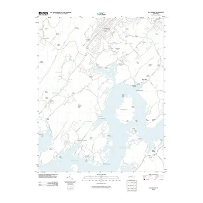
2010 Map of Rockwood
USGS Topo · Published 2010About this map
Watts Bar Lake dominates the southern half of this landscape, its fingers reaching into deep valleys and around landforms such as Half Moon Island and Thief Neck Island. On the northern shore, the city of Rockwood sits at the base of the ridge line, serves as a hub of local roads including S Chamberlain Ave and Hopewell Rd. The map is particularly rich in genealogical data, preserving the locations of numerous family and community burial grounds like Lingo Cemetery, McLean Cemetery, and the Post-Oak Springs Cemetery near the northern boundary.
Find a feature on this map
108 named features on this map. Tap any name to fly to it.
Don’t see what you’re looking for? This feature index may not catch every label — zoom into the map to look around manually.
Map Details
Editions of this 2010 Rockwood Map
This is the sole edition of this map. No revisions or reprints were ever made.
Other maps of this area

1887 · Kingston
USGS Topo · 1:125,000

1891 · Kingston
USGS Topo · 1:125,000

1893 · Kingston
USGS Topo · 1:125,000
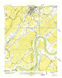
1935 · Rockwood
USGS Topo · 1:24,000
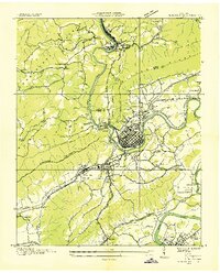
1935 · Harriman
USGS Topo · 1:24,000
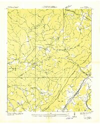
1936 · Roddy
USGS Topo · 1:24,000
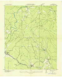
1936 · Ozone
USGS Topo · 1:24,000
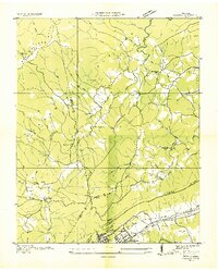
1936 · Cardiff
USGS Topo · 1:24,000
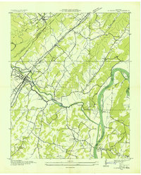
1936 · Spring City
USGS Topo · 1:24,000
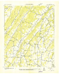
1936 · Pattie Gap
USGS Topo · 1:24,000