
1936 Map of Spring City
USGS Topo · Published 1936About this map
The Southern Railway corridor and the winding Tennessee River define the economic landscape of this mid-1930s survey. Spring City serves as the primary hub, surrounded by smaller agrarian settlements like Rhea Springs and Grandview. The map reflects a rural society supported by numerous small institutions, including the Beech Grove Ch and schools such as Mars Hill Sch and Wasson Sch.
Find a feature on this map
54 named features on this map. Tap any name to fly to it.
Don’t see what you’re looking for? This feature index may not catch every label — zoom into the map to look around manually.
Map Details
Editions of this 1936 Spring City Map
This is the sole edition of this map. No revisions or reprints were ever made.
Other maps of this area

1887 · Kingston
USGS Topo · 1:125,000

1891 · Kingston
USGS Topo · 1:125,000

1893 · Kingston
USGS Topo · 1:125,000

1935 · Rockwood
USGS Topo · 1:24,000

1935 · Evensville
USGS Topo · 1:24,000

1935 · Decatur
USGS Topo · 1:24,000

1935 · Pennine
USGS Topo · 1:24,000

1936 · Roddy
USGS Topo · 1:24,000
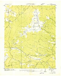
1936 · Grassy Cove
USGS Topo · 1:24,000
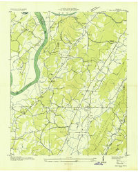
1936 · Ten Mile
USGS Topo · 1:24,000