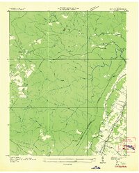
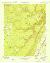
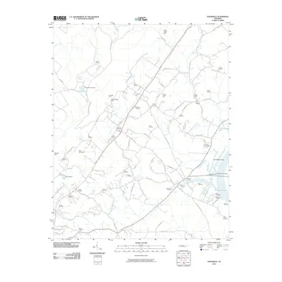
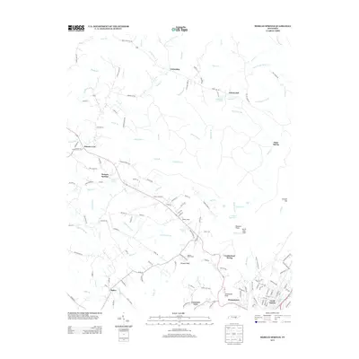
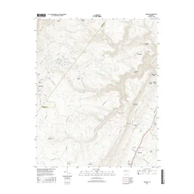
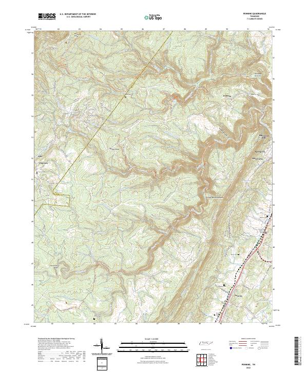
1935 Map of Pennine
USGS Topo · Published 1935About this map
The Cumberland Escarpment and the high plateaus of Walden Ridge dominate this 1935 landscape, where the Bledsoe and Rhea County border follows the high ground. Settlement is concentrated along the eastern base of the ridge near Pennine, where the Southern railroad and Town State County Highway No 29 provide a corridor for commerce. This valley floor is home to community landmarks like Sheffield Church and the De Vaney Cemetery.
Find a feature on this map
63 named features on this map. Tap any name to fly to it.
Don’t see what you’re looking for? This feature index may not catch every label — zoom into the map to look around manually.
Map Details
Editions of this 1935 Pennine Map
This is the sole edition of this map. No revisions or reprints were ever made.
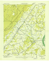
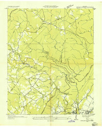
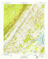
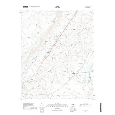
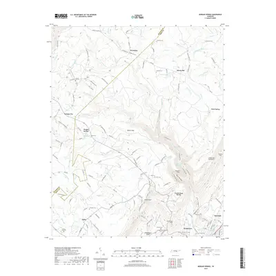
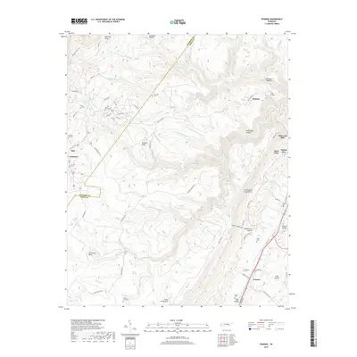
Historical Maps of Spring City Through Time
24 maps found
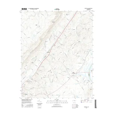
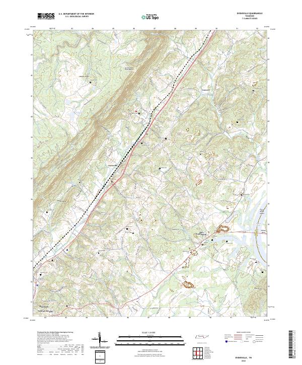
1935 Evensville
Rhea County, TN
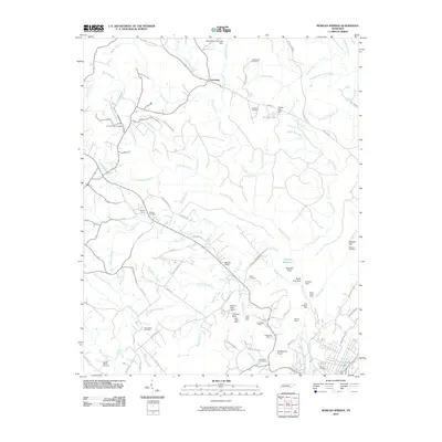
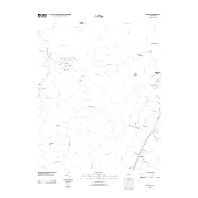
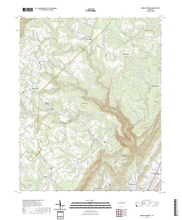
1935 Morgan Springs
Rhea County, TN
1935 Pennine
Rhea County, TN
1942 Evensville
Rhea County, TN
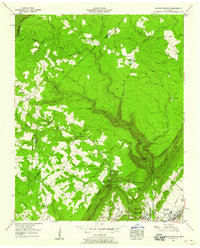
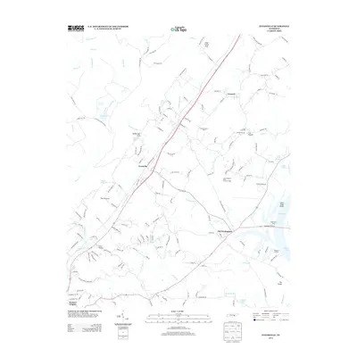
1949 Pennine
Rhea County, TN
1956 Morgan Springs
Rhea County, TN
1972 Morgan Springs
Rhea County, TN
1973 Evensville
Rhea County, TN

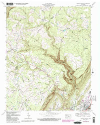
1973 Pennine
Rhea County, TN
2010 Evensville
Rhea County, TN
2010 Morgan Springs
Rhea County, TN
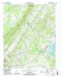
2010 Pennine
Rhea County, TN
2013 Evensville
Rhea County, TN
2013 Morgan Springs
Rhea County, TN
2013 Pennine
Rhea County, TN
2016 Evensville
Rhea County, TN
2016 Morgan Springs
Rhea County, TN
2016 Pennine
Rhea County, TN
2019 Evensville
Rhea County, TN
2019 Morgan Springs
Rhea County, TN
2019 Pennine
Rhea County, TN
2022 Evensville
Rhea County, TN
2022 Morgan Springs
Rhea County, TN
2022 Pennine
Rhea County, TN