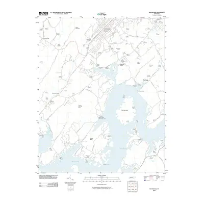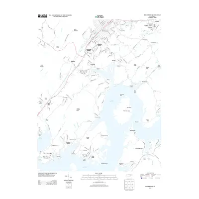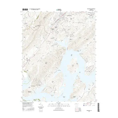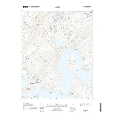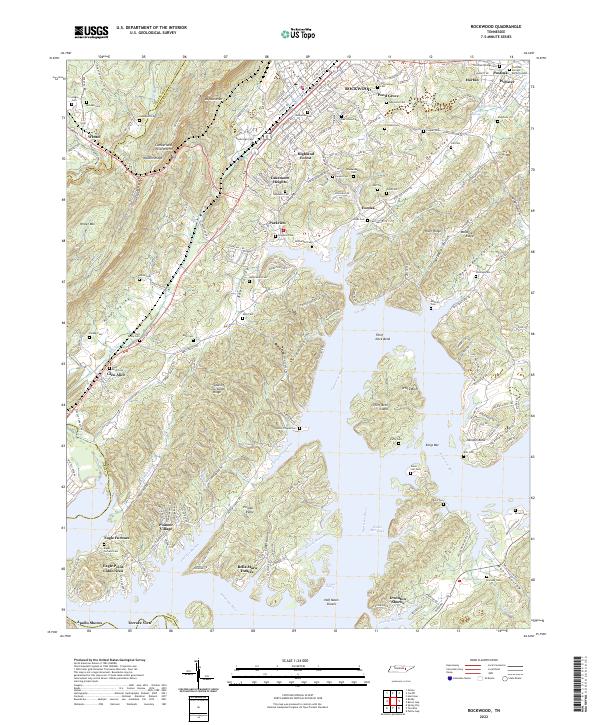
2022 Map of Rockwood
USGS Topo · Published 2022About this map
Walden Ridge and the dramatic Cumberland Escarpment dominate the western landscape of this Roane County region, where the terrain drops sharply toward the Tennessee River. The river itself, significantly altered by the Watts Bar Lake impoundment, features prominent landmarks such as Thief Neck Island, White Bluff, and Kings Bar. This geography has long dictated the layout of local infrastructure, with the Norfolk Southern rail line and major roadways skirting the base of the ridges to connect the industrial and residential hubs of Rockwood and its surrounding communities.
Find a feature on this map
214 named features on this map. Tap any name to fly to it.
Don’t see what you’re looking for? This feature index may not catch every label — zoom into the map to look around manually.
Map Details
Editions of this 2022 Rockwood Map
This is the sole edition of this map. No revisions or reprints were ever made.
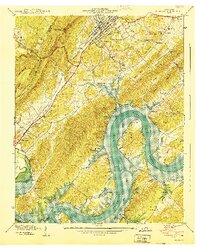
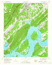
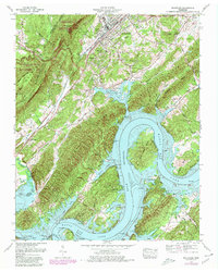
Historical Maps of Rockwood Through Time
9 maps found