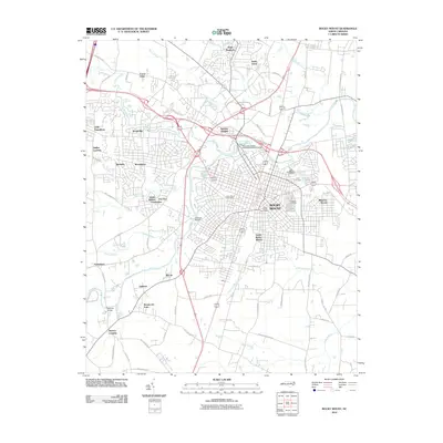
2010 Map of Rocky Mount
USGS Topo · Published 2010About this map
Rocky Mount serves as the focal point of this 2010 survey, situated where the Tar River and its various tributaries define the urban and suburban sprawl. The landscape is marked by the industrial and hydrological legacy of the Rocky Mount Millpond Dam and the nearby City Lake, while numerous residential developments like Swelton Heights, Meadow Brook, and Woodgreen radiate from the city center. This edition documents a transition in local infrastructure, showing the intersection of modern transportation routes with long-standing landmarks such as the Williford Bridge and Lemons Bridge.
Find a feature on this map
78 named features on this map. Tap any name to fly to it.
Don’t see what you’re looking for? This feature index may not catch every label — zoom into the map to look around manually.
Map Details
Editions of this 2010 Rocky Mount Map
This is the sole edition of this map. No revisions or reprints were ever made.
Other maps of this area

1902 · Rocky Mount
USGS Topo · 1:62,500

1902 · Tarboro
USGS Topo · 1:62,500

1903 · Tarboro
USGS Topo · 1:62,500

1904 · Rocky Mount
USGS Topo · 1:62,500

1953 · Norfolk
USGS Topo · 1:250,000

1953 · Rocky Mount
USGS Topo · 1:250,000

1954 · Rocky Mount
USGS Topo · 1:250,000

1961 · Whitakers
USGS Topo · 1:24,000

1963 · Red Oak
USGS Topo · 1:24,000

1963 · Drake
USGS Topo · 1:24,000