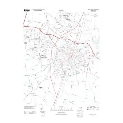
2013 Map of Rocky Mount
USGS Topo · Published 2013About this map
Rocky Mount Mills stands as a primary landmark along the Tar River, illustrating the intersection of industrial history and hydrology in this North Carolina hub. The river winds centrally through the area, joined by numerous tributaries such as Stony Cr and Hornbeam Br. The map reveals a dense network of residential developments and established neighborhoods including South Rocky Mount, Forest Oaks, and Swelton Heights, reflecting the city's twentieth-century expansion. To the south, the landscape shifts toward the low-lying reaches of Cokey Swamp and Little Cokey Swamp. Recreational and community spaces are anchored by City Lake and Wooderest Park, while peripheral settlements like Little Easonburg and Joyners Crossing provide critical geographic markers for local historians tracing the evolution of Edgecombe and Nash counties.
Find a feature on this map
357 named features on this map. Tap any name to fly to it.
Don’t see what you’re looking for? This feature index may not catch every label — zoom into the map to look around manually.
Map Details
Editions of this 2013 Rocky Mount Map
This is the sole edition of this map. No revisions or reprints were ever made.
Other maps of this area

1902 · Rocky Mount
USGS Topo · 1:62,500

1902 · Tarboro
USGS Topo · 1:62,500

1903 · Tarboro
USGS Topo · 1:62,500

1904 · Rocky Mount
USGS Topo · 1:62,500

1953 · Norfolk
USGS Topo · 1:250,000

1953 · Rocky Mount
USGS Topo · 1:250,000

1954 · Rocky Mount
USGS Topo · 1:250,000

1961 · Whitakers
USGS Topo · 1:24,000

1963 · Red Oak
USGS Topo · 1:24,000

1963 · Drake
USGS Topo · 1:24,000