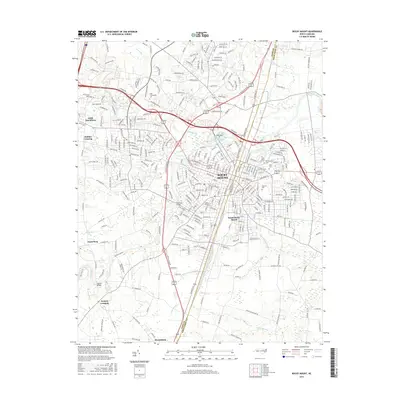
2016 Map of Rocky Mount
USGS Topo · Published 2016About this map
The Tar River and Stony Creek converge in this 2016 survey, defining the industrial and civic layout of Rocky Mount. The city's growth is reflected in its established residential and institutional zones, including the Nash Community Coll and significant burial grounds such as Pineview Cem, Unity Cem, and Northeastern Cem. The boundary between Nash and Edgecombe counties bisects the urban core, illustrating how the community spans two jurisdictions along the rail and river corridors.
Find a feature on this map
310 named features on this map. Tap any name to fly to it.
Don’t see what you’re looking for? This feature index may not catch every label — zoom into the map to look around manually.
Map Details
Editions of this 2016 Rocky Mount Map
This is the sole edition of this map. No revisions or reprints were ever made.
Other maps of this area

1902 · Rocky Mount
USGS Topo · 1:62,500

1902 · Tarboro
USGS Topo · 1:62,500

1903 · Tarboro
USGS Topo · 1:62,500

1904 · Rocky Mount
USGS Topo · 1:62,500

1953 · Norfolk
USGS Topo · 1:250,000

1953 · Rocky Mount
USGS Topo · 1:250,000

1954 · Rocky Mount
USGS Topo · 1:250,000

1961 · Whitakers
USGS Topo · 1:24,000

1963 · Red Oak
USGS Topo · 1:24,000

1963 · Drake
USGS Topo · 1:24,000