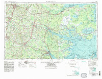
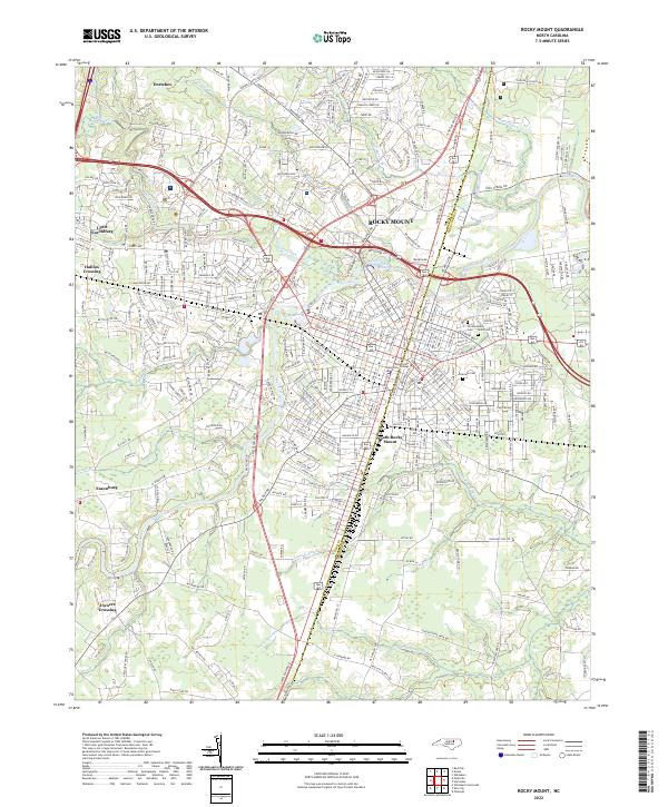
1954 Map of Rocky Mount
USGS Topo · Published 1954About this map
Albemarle Sound and Pamlico Sound dominate this mid-century coastal survey, illustrating the complex geography of the North Carolina Tidewater. The landscape is defined by its vast wetlands and protected areas, from the Great Dismal Swamp in the north to the Croatan National Forest near New Bern. The era's transportation network is clearly visible, with the Atlantic Coast Line and Norfolk Southern railroads connecting interior hubs like Rocky Mount, Wilson, and Goldsboro to the coastal plains. Major hydrological features, including the Roanoke River and Neuse River, carve through the region, while significant conservation efforts are evidenced by the Lake Mattamuskeet Wildlife Refuge and Swanquarter Migratory Waterfowl Refuge. This document provides a look at the state's eastern counties before modern coastal development transformed many of these rural and estuarine landscapes.
Find a feature on this map
48 named features on this map. Tap any name to fly to it.
Don’t see what you’re looking for? This feature index may not catch every label — zoom into the map to look around manually.
Map Details
Editions of this 1954 Rocky Mount Map
This is the sole edition of this map. No revisions or reprints were ever made.
Historical Maps of Heritage Village Through Time
9 maps found