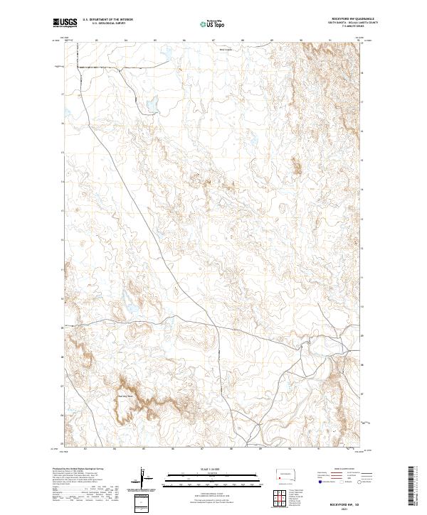
2021 Map of Rockyford NW
USGS Topo · Published 2021About this map
Red Dog Table rises prominently above the surrounding plains in this section of Oglala Lakota County, marking a distinct geographical transition in the western South Dakota landscape. The hydrological network of the region is defined by the White River, which winds through the southern portion of the quadrangle. This drainage system is fed by several significant seasonal and perennial streams, including E Horse Cr, W Horse Cr, and Sand Cr. To the north, the terrain is further sculpted by the deep incision of Wolf Canyon. The map illustrates the sparsely populated, ranch-oriented land use pattern typical of the High Plains, where human impact is primarily reflected in the network of local roads and land division lines that traverse the open range and high plateaus.
Find a feature on this map
12 named features on this map. Tap any name to fly to it.
Don’t see what you’re looking for? This feature index may not catch every label — zoom into the map to look around manually.
Map Details
Editions of this 2021 Rockyford NW Map
This is the sole edition of this map. No revisions or reprints were ever made.
Other maps of this area

1950 · Stirk Table
USGS Topo · 1:24,000

1950 · Cuny Table East
USGS Topo · 1:24,000

1951 · Rockyford SW
USGS Topo · 1:24,000

1951 · Rockyford NW
USGS Topo · 1:24,000

1951 · Willow Creek NE
USGS Topo · 1:24,000

1951 · Rockyford
USGS Topo · 1:24,000

1951 · Rockyford SE
USGS Topo · 1:24,000

1951 · Cuny Table West
USGS Topo · 1:24,000

1955 · Hot Springs
USGS Topo · 1:250,000

1967 · Willow Creek
USGS Topo · 1:24,000