
1951 Map of Cuny Table West
USGS Topo · Published 1953About this map
Pine Ridge Indian Reservation land characterizes this mid-century topographic study, which captures the distinct plateau-and-canyon geography of western South Dakota. The map is dominated by massive elevated formations including Red Shirt Table and the extensive Cuny Table, which rise sharply above the surrounding drainages. These flat-topped tables provide a clear look at the region’s traditional land patterns and natural boundaries before later development or shifts in land use. The drainage network is clearly defined by Battle Creek Canyon in the northeast and the winding paths of Cedar Creek and Brush Creek. This survey, conducted as part of the Department of the Interior program for the development of the Missouri River Basin, provides essential data for understanding the physical landscape and tribal landholdings during the early 1950s.
Find a feature on this map
7 named features on this map. Tap any name to fly to it.
Don’t see what you’re looking for? This feature index may not catch every label — zoom into the map to look around manually.
Map Details
Editions of this 1951 Cuny Table West Map
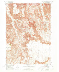
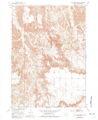
Other maps of this area

1950 · Cuny Table East
USGS Topo · 1:24,000

1951 · Red Shirt
USGS Topo · 1:24,000

1951 · Willow Creek NW
USGS Topo · 1:24,000

1951 · Heutmacher Table
USGS Topo · 1:24,000

1951 · Rockyford NW
USGS Topo · 1:24,000

1951 · Willow Creek NE
USGS Topo · 1:24,000

1951 · Red Shirt NE
USGS Topo · 1:24,000

1951 · Red Shirt SW
USGS Topo · 1:24,000

1955 · Hot Springs
USGS Topo · 1:250,000

1981 · Wall
USGS Topo · 1:100,000