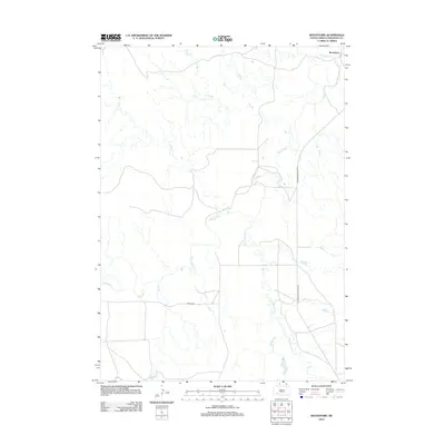
2012 Map of Rockyford
USGS Topo · Published 2012About this map
The White River defines the drainage patterns of this South Dakota landscape, carving a winding path through a region shaped by its watercourses. The settlement of Rockyford sits at a crossroads in the northeastern corner, where modern infrastructure meets the ancient flow of the river. The map details a network of vital tributaries, including Fog Cr, Sand Cr, and the significant Wounded Knee Cr, which travels north across the southern border.
Find a feature on this map
8 named features on this map. Tap any name to fly to it.
Don’t see what you’re looking for? This feature index may not catch every label — zoom into the map to look around manually.
Map Details
Editions of this 2012 Rockyford Map
This is the sole edition of this map. No revisions or reprints were ever made.
Other maps of this area

1950 · Stirk Table
USGS Topo · 1:24,000

1950 · Cuny Table East
USGS Topo · 1:24,000

1950 · Imlay SW
USGS Topo · 1:24,000

1951 · Rockyford SW
USGS Topo · 1:24,000

1951 · Sharps Corner
USGS Topo · 1:24,000

1951 · Rockyford NW
USGS Topo · 1:24,000

1951 · Rockyford
USGS Topo · 1:24,000

1951 · Rockyford SE
USGS Topo · 1:24,000

1955 · Hot Springs
USGS Topo · 1:250,000

1981 · Wall
USGS Topo · 1:100,000