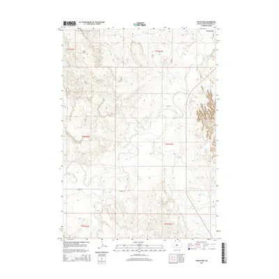
2015 Map of Rockyford
USGS Topo · Published 2015About this map
White River and its various tributaries define the hydrology of this South Dakota landscape, where the prairie meets distinct topographical rises such as Cuny Table. The 2015 topography shows a region shaped by water and time, with Wounded Knee Cr and Grass Cr carving through the plains. The small settlement of Rockyford sits in the northeast corner of the sheet, providing a focal point for the surrounding rural area. Local transit is represented by arterial routes like Steele Rd and Rhonda Rd, which link the various townships of the Pine Ridge region. The map highlights the complex drainage patterns of Fog Cr and Sand Cr, illustrating the relationship between the elevated plateaus and the lower river valleys.
Find a feature on this map
16 named features on this map. Tap any name to fly to it.
Don’t see what you’re looking for? This feature index may not catch every label — zoom into the map to look around manually.
Map Details
Editions of this 2015 Rockyford Map
This is the sole edition of this map. No revisions or reprints were ever made.
Other maps of this area

1950 · Stirk Table
USGS Topo · 1:24,000

1950 · Cuny Table East
USGS Topo · 1:24,000

1950 · Imlay SW
USGS Topo · 1:24,000

1951 · Rockyford SW
USGS Topo · 1:24,000

1951 · Sharps Corner
USGS Topo · 1:24,000

1951 · Rockyford NW
USGS Topo · 1:24,000

1951 · Rockyford
USGS Topo · 1:24,000

1951 · Rockyford SE
USGS Topo · 1:24,000

1955 · Hot Springs
USGS Topo · 1:250,000

1981 · Wall
USGS Topo · 1:100,000