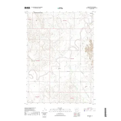
2017 Map of Rockyford
USGS Topo · Published 2017About this map
Badlands National Park reaches into the northern boundary of this Oglala Lakota County landscape, where the plateau of Cuny Table overlooks a complex network of waterways. The White River meanders sharply across the terrain, joined by the well-known Wounded Knee Cr and smaller tributaries like Grass Cr and Sand Cr. This 2017 survey illustrates the sparse but critical infrastructure of the region, anchored by the settlement of Rockyford.
Find a feature on this map
23 named features on this map. Tap any name to fly to it.
Don’t see what you’re looking for? This feature index may not catch every label — zoom into the map to look around manually.
Map Details
Editions of this 2017 Rockyford Map
This is the sole edition of this map. No revisions or reprints were ever made.
Other maps of this area

1950 · Stirk Table
USGS Topo · 1:24,000

1950 · Cuny Table East
USGS Topo · 1:24,000

1950 · Imlay SW
USGS Topo · 1:24,000

1951 · Rockyford SW
USGS Topo · 1:24,000

1951 · Sharps Corner
USGS Topo · 1:24,000

1951 · Rockyford NW
USGS Topo · 1:24,000

1951 · Rockyford
USGS Topo · 1:24,000

1951 · Rockyford SE
USGS Topo · 1:24,000

1955 · Hot Springs
USGS Topo · 1:250,000

1981 · Wall
USGS Topo · 1:100,000