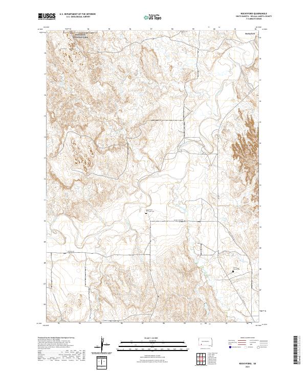
2021 Map of Rockyford
USGS Topo · Published 2021About this map
Rockyford serves as a central point of settlement in this Oglala Lakota County landscape, where the meandering White River meets its tributaries. The terrain is defined by the elevation of Cuny Table and the drainage basins of Wounded Knee Cr, Fog Cr, and Sand Cr. A small portion of Badlands National Park enters the northwest corner of the survey, contrasting with the river valleys below. For those tracing family history or local community ties, the map identifies significant cultural landmarks including Saint Mark's Episcopal Cem and Saint Peter Church Cem. The road network, including Indian Service Rd 33 and the Rockey Ford Rte, reflects the essential transport corridors through these tribal lands, connecting scattered residences and religious sites along the river's winding course.
Find a feature on this map
22 named features on this map. Tap any name to fly to it.
Don’t see what you’re looking for? This feature index may not catch every label — zoom into the map to look around manually.
Map Details
Editions of this 2021 Rockyford Map
This is the sole edition of this map. No revisions or reprints were ever made.
Other maps of this area

1950 · Stirk Table
USGS Topo · 1:24,000

1950 · Cuny Table East
USGS Topo · 1:24,000

1950 · Imlay SW
USGS Topo · 1:24,000

1951 · Rockyford SW
USGS Topo · 1:24,000

1951 · Sharps Corner
USGS Topo · 1:24,000

1951 · Rockyford NW
USGS Topo · 1:24,000

1951 · Rockyford
USGS Topo · 1:24,000

1951 · Rockyford SE
USGS Topo · 1:24,000

1955 · Hot Springs
USGS Topo · 1:250,000

1981 · Wall
USGS Topo · 1:100,000