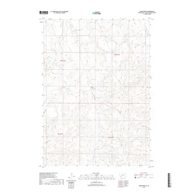
2017 Map of Rockyford SE
USGS Topo · Published 2017About this map
Saint Mary's Church Cem serves as a central landmark in this portion of the Wounded Knee District, situated near the headwaters of Grass Cr. This landscape is defined by the winding drainages of the Wounded Knee Cr and its tributaries, which carve through the high plains of the Pine Ridge Reservation. The survey illustrates a sparsely populated region where infrastructure is largely confined to the winding path of Grass Creek Rd. By 2017, the area remains dominated by traditional land divisions and vast open terrain, with the church and its associated cemetery providing a vital point of reference for genealogists and local historians tracing families in this part of South Dakota.
Find a feature on this map
9 named features on this map. Tap any name to fly to it.
Don’t see what you’re looking for? This feature index may not catch every label — zoom into the map to look around manually.
Map Details
Editions of this 2017 Rockyford SE Map
This is the sole edition of this map. No revisions or reprints were ever made.
Other maps of this area

1951 · Rockyford SW
USGS Topo · 1:24,000

1951 · Sharps Corner
USGS Topo · 1:24,000

1951 · Rockyford NW
USGS Topo · 1:24,000

1951 · Rockyford
USGS Topo · 1:24,000

1951 · Rockyford SE
USGS Topo · 1:24,000

1955 · Hot Springs
USGS Topo · 1:250,000

1967 · Pine Ridge NE
USGS Topo · 1:24,000

1967 · Manderson
USGS Topo · 1:24,000

1967 · Oglala
USGS Topo · 1:24,000

1981 · Evergreen
USGS Topo · 1:25,000