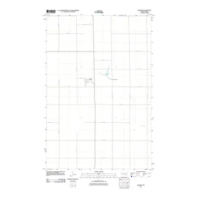
2011 Map of Rogers
USGS Topo · Published 2011About this map
The settlement of Rogers sits at the heart of this Barnes County landscape, organized along a traditional grid of streets including 1st St, 2nd St, and Railroad Ave. This 2011 survey illustrates the precise layout of the town, where local residential avenues like 2nd Ave and 3rd Ave meet the surrounding agricultural sections. The map records the intersection of regional thoroughfares such as 107th Ave SE and 24th St SE, which define the rectangular parceling typical of the North Dakota prairie.
Find a feature on this map
23 named features on this map. Tap any name to fly to it.
Don’t see what you’re looking for? This feature index may not catch every label — zoom into the map to look around manually.
Map Details
Editions of this 2011 Rogers Map
This is the sole edition of this map. No revisions or reprints were ever made.
Other maps of this area

1897 · Eckelson
USGS Topo · 1:125,000

1952 · New Rockford
USGS Topo · 1:250,000

1953 · Jamestown
USGS Topo · 1:250,000

1956 · New Rockford
USGS Topo · 1:250,000

1956 · Jamestown
USGS Topo · 1:250,000

1961 · Leal
USGS Topo · 1:24,000

1961 · Baldhill Dam
USGS Topo · 1:24,000

1961 · Valley City West
USGS Topo · 1:24,000

1961 · Wimbledon NE
USGS Topo · 1:24,000

1961 · Rogers
USGS Topo · 1:24,000