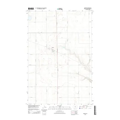
2014 Map of Rogers
USGS Topo · Published 2014About this map
Rogers serves as the central hub of this eastern North Dakota agricultural landscape, positioned at the intersection of local routes like Railway Ave. The surrounding terrain in Barnes County is defined by a grid of rural section roads, including Nd-9 and Cr-11, which partition the prairie into large-scale farming tracts. To the east of the town site, the waters of Tomahawk Lake break the regularity of the section lines, reflecting the natural glacial depressions typical of the region. The map illustrates a late-modern stage of rural settlement where the primary transportation corridors, such as 109th Ave SE, remain the lifeblood of the community's connection to the wider grain-producing economy of the Plains.
Find a feature on this map
19 named features on this map. Tap any name to fly to it.
Don’t see what you’re looking for? This feature index may not catch every label — zoom into the map to look around manually.
Map Details
Editions of this 2014 Rogers Map
This is the sole edition of this map. No revisions or reprints were ever made.
Other maps of this area

1897 · Eckelson
USGS Topo · 1:125,000

1952 · New Rockford
USGS Topo · 1:250,000

1953 · Jamestown
USGS Topo · 1:250,000

1956 · New Rockford
USGS Topo · 1:250,000

1956 · Jamestown
USGS Topo · 1:250,000

1961 · Leal
USGS Topo · 1:24,000

1961 · Baldhill Dam
USGS Topo · 1:24,000

1961 · Valley City West
USGS Topo · 1:24,000

1961 · Wimbledon NE
USGS Topo · 1:24,000

1961 · Rogers
USGS Topo · 1:24,000