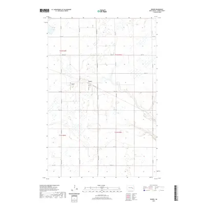
2020 Map of Rogers
USGS Topo · Published 2020About this map
Rogers serves as the central hub of this Barnes County landscape, situated at the intersection of Railway Ave and 3rd St SE. The map reveals a highly structured prairie environment defined by the Public Land Survey System, where a rigid grid of gravel roads—including 7th Ave SE and 112th Ave SE—partitions the agricultural terrain. This layout reflects the enduring legacy of the regional railroad economy and the systematic division of North Dakota's homesteading lands.
Find a feature on this map
23 named features on this map. Tap any name to fly to it.
Don’t see what you’re looking for? This feature index may not catch every label — zoom into the map to look around manually.
Map Details
Editions of this 2020 Rogers Map
This is the sole edition of this map. No revisions or reprints were ever made.
Other maps of this area

1897 · Eckelson
USGS Topo · 1:125,000

1952 · New Rockford
USGS Topo · 1:250,000

1953 · Jamestown
USGS Topo · 1:250,000

1956 · New Rockford
USGS Topo · 1:250,000

1956 · Jamestown
USGS Topo · 1:250,000

1961 · Leal
USGS Topo · 1:24,000

1961 · Baldhill Dam
USGS Topo · 1:24,000

1961 · Valley City West
USGS Topo · 1:24,000

1961 · Wimbledon NE
USGS Topo · 1:24,000

1961 · Rogers
USGS Topo · 1:24,000