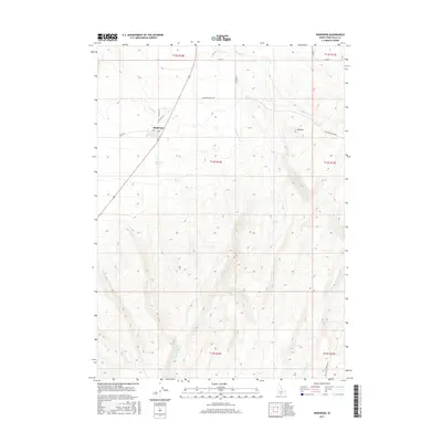
2017 Map of Rogerson
USGS Topo · Published 2017About this map
The settlement of Rogerson serves as a focal point in this high-desert region of southern Idaho, situated where Old Hwy 93 meets the critical water resources of Rogerson Spring. The landscape is defined by an intricate network of drainage systems, including the southward-reaching Deep Cr and its tributary S Fork Deep Cr, which carve through the terrain alongside Cottonwood Cr. These water sources were foundational to the area's development, as evidenced by the irrigation infrastructure of A Lateral and several named springs such as Dan Spring and Duck Spring. Further east, the locality of Flatiron marks the higher elevations near Soldier Cr. The survey illustrates the intersection of historical transit routes like Shoshone Basin Rd and the persistent agricultural and ranching patterns dictated by the availability of water in an otherwise arid environment.
Find a feature on this map
24 named features on this map. Tap any name to fly to it.
Don’t see what you’re looking for? This feature index may not catch every label — zoom into the map to look around manually.
Map Details
Editions of this 2017 Rogerson Map
This is the sole edition of this map. No revisions or reprints were ever made.
Other maps of this area

1955 · Twin Falls
USGS Topo · 1:250,000

1958 · Twin Falls
USGS Topo · 1:250,000

1965 · Hollister SW
USGS Topo · 1:24,000

1965 · Hollister
USGS Topo · 1:24,000

1965 · Mc Mullen Basin
USGS Topo · 1:24,000

1977 · Big Creek Ranch
USGS Topo · 1:24,000

1977 · Rogerson
USGS Topo · 1:24,000

1977 · Magic Hot Springs
USGS Topo · 1:24,000

1977 · Salmon Butte
USGS Topo · 1:24,000

1978 · Hopper Gulch
USGS Topo · 1:24,000