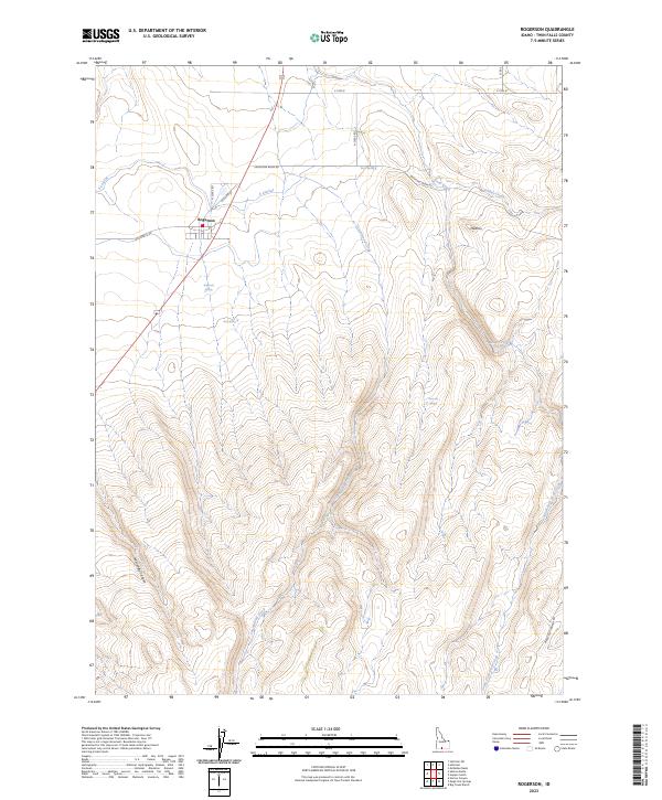
2023 Map of Rogerson
USGS Topo · Published 2023About this map
Rogerson sits at the northern edge of this high-desert terrain, serving as a gateway to the complex canyon systems of Twin Falls County. The landscape is defined by the sharp descent into McCongle Canyon and the winding course of the South Fork Deep Creek. Unlike the irrigated plains further north, this area relies on isolated water sources like Rogerson Spring, Dan Spring, and Emerson Spring, which have long anchored local movement and ranching operations.
Find a feature on this map
25 named features on this map. Tap any name to fly to it.
Don’t see what you’re looking for? This feature index may not catch every label — zoom into the map to look around manually.
Map Details
Editions of this 2023 Rogerson Map
This is the sole edition of this map. No revisions or reprints were ever made.
Other maps of this area

1955 · Twin Falls
USGS Topo · 1:250,000

1958 · Twin Falls
USGS Topo · 1:250,000

1965 · Hollister SW
USGS Topo · 1:24,000

1965 · Hollister
USGS Topo · 1:24,000

1965 · Mc Mullen Basin
USGS Topo · 1:24,000

1977 · Big Creek Ranch
USGS Topo · 1:24,000

1977 · Rogerson
USGS Topo · 1:24,000

1977 · Magic Hot Springs
USGS Topo · 1:24,000

1977 · Salmon Butte
USGS Topo · 1:24,000

1978 · Hopper Gulch
USGS Topo · 1:24,000