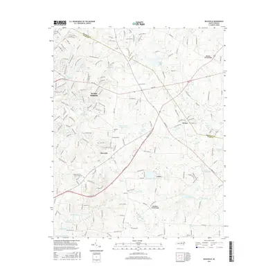
2016 Map of Rolesville
USGS Topo · Published 2016About this map
Wake Forest and Rolesville anchor this 2016 survey, showcasing a landscape where historical Piedmont crossroads meet modern infrastructure. The area is defined by its extensive network of water bodies, from the Wake Forest Reservoir in the northwest to Falls Lake and the Mitchell Millpond further south. These lakes and ponds, including Shearon Lake and Fellowship Lake, suggest a terrain shaped by historical damming for mills and modern recreational use.
Find a feature on this map
182 named features on this map. Tap any name to fly to it.
Don’t see what you’re looking for? This feature index may not catch every label — zoom into the map to look around manually.
Map Details
Editions of this 2016 Rolesville Map
This is the sole edition of this map. No revisions or reprints were ever made.
Other maps of this area

1943 · Raleigh
USGS Topo · 1:62,500

1943 · Creedmoor
USGS Topo · 1:62,500

1944 · Creedmoor
USGS Topo · 1:62,500

1951 · Raleigh
USGS Topo · 1:62,500

1953 · Raleigh
USGS Topo · 1:250,000

1953 · Greensboro
USGS Topo · 1:250,000

1954 · Greensboro
USGS Topo · 1:250,000

1954 · Raleigh
USGS Topo · 1:250,000

1962 · Greensboro
USGS Topo · 1:250,000

1966 · Greensboro
USGS Topo · 1:250,000