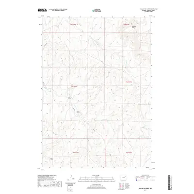
2017 Map of Rolling Pin Ranch
USGS Topo · Published 2017About this map
Rolling Pin Ranch serves as a central landmark in this high plains landscape of Campbell County, where the topography is defined by an intricate network of drainages and isolated elevations. To the north, North Mid Butte rises above the surrounding terrain, while watercourses like Cottonwood Cr and Dry Willow Cr carve subtle patterns across the landscape. The layout of Red Springs Rd and Brown Rd reflects the practical transit needs of this ranching country, connecting remote homesteads and grazing lands. Genealogists and local historians can trace the relationship between these early roads and the natural features they navigate, such as Collins Draw and the more dramatic relief of Cedar Canyon in the southwest. The presence of Seventeenmile Cr and N Cottonwood Cr further illustrates the hydrological system vital to sustaining the regional ranching economy.
Find a feature on this map
16 named features on this map. Tap any name to fly to it.
Don’t see what you’re looking for? This feature index may not catch every label — zoom into the map to look around manually.
Map Details
Editions of this 2017 Rolling Pin Ranch Map
This is the sole edition of this map. No revisions or reprints were ever made.
Other maps of this area

1953 · Dry Fork Ranch
USGS Topo · 1:24,000

1953 · Fort Reno SE
USGS Topo · 1:24,000

1953 · Savageton
USGS Topo · 1:24,000

1953 · South Butte
USGS Topo · 1:24,000

1953 · Rolling Pin Ranch
USGS Topo · 1:24,000

1953 · North Butte
USGS Topo · 1:24,000

1954 · Artesian Draw
USGS Topo · 1:24,000

1954 · Pine Tree
USGS Topo · 1:24,000

1954 · Taylor Ranch
USGS Topo · 1:24,000

1955 · Newcastle
USGS Topo · 1:250,000