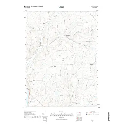
2019 Map of Rome
USGS Topo · Published 2019About this map
Rome and its surrounding Bradford County highlands are defined by a complex drainage system that feeds into the Susquehanna River at the southwestern corner of the sheet. The landscape is marked by numerous family-named peaks and ridges such as South Hill, Johnson Hill, and the prominent Red Rock Mtn. Small settlements and crossroads like Allis Hollow, Mercur, and Herrickville are connected by a network of winding roads that follow the contours of the terrain, including Battle Creek Rd and Towner Hill Rd.
Find a feature on this map
86 named features on this map. Tap any name to fly to it.
Don’t see what you’re looking for? This feature index may not catch every label — zoom into the map to look around manually.
Map Details
Editions of this 2019 Rome Map
This is the sole edition of this map. No revisions or reprints were ever made.
Other maps of this area

1923 · Towanda
USGS Topo · 1:62,500

1926 · Towanda
USGS Topo · 1:62,500

1943 · Towanda
USGS Topo · 1:62,500

1943 · Monroeton
USGS Topo · 1:62,500

1943 · Le Raysville
USGS Topo · 1:62,500

1945 · Le Raysville
USGS Topo · 1:62,500

1945 · Meshoppen
USGS Topo · 1:62,500

1945 · Laceyville
USGS Topo · 1:24,000
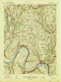
1947 · Laceyville
USGS Topo · 1:24,000

1954 · Williamsport
USGS Topo · 1:250,000