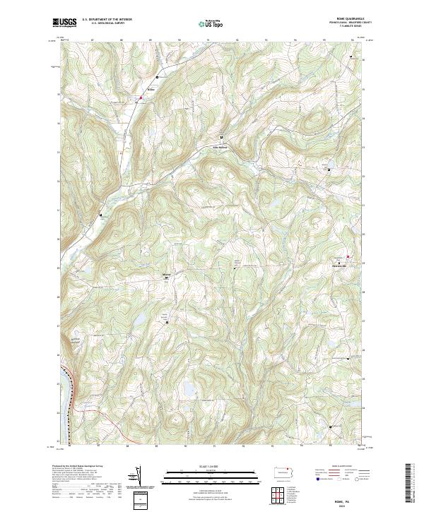
2023 Map of Rome
USGS Topo · Published 2023About this map
Wysox Creek and its many tributaries, including Bear Creek and Johnson Creek, carve a complex drainage pattern through the eastern Bradford County highlands. The village of Rome serves as a primary local hub, while smaller communities like Herrickville and Allis Hollow anchor the surrounding rural landscape. Family history is etched across the terrain in names like Taylor Hill Rd and Bonin Rd, alongside numerous burial grounds such as the Ireland Catholic Cem and South Hill Cem. The western edge of the area is defined by the Susquehanna River and the rise of Red Rock Mountain. Southward, the landscape shifts toward smaller water bodies like Totem Lake and Claverack Pond, illustrating the transition from steep creek valleys to high-elevation basins.
Find a feature on this map
84 named features on this map. Tap any name to fly to it.
Don’t see what you’re looking for? This feature index may not catch every label — zoom into the map to look around manually.
Map Details
Editions of this 2023 Rome Map
This is the sole edition of this map. No revisions or reprints were ever made.
Other maps of this area

1923 · Towanda
USGS Topo · 1:62,500

1926 · Towanda
USGS Topo · 1:62,500

1943 · Towanda
USGS Topo · 1:62,500

1943 · Monroeton
USGS Topo · 1:62,500

1943 · Le Raysville
USGS Topo · 1:62,500

1945 · Le Raysville
USGS Topo · 1:62,500

1945 · Meshoppen
USGS Topo · 1:62,500

1945 · Laceyville
USGS Topo · 1:24,000
1947 · Laceyville
USGS Topo · 1:24,000

1954 · Williamsport
USGS Topo · 1:250,000