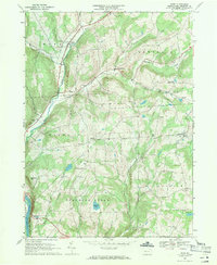
1967 Map of Rome
USGS Topo · Published 1971About this map
Wysox Creek and its many tributaries, including Bullard Creek and Parks Creek, carve through the rolling uplands of eastern Bradford County. The settlement of Rome serves as a primary local hub, while smaller hamlets like Allis Hollow, Mercur, and Herrickville are scattered across the township boundaries of Orwell, Wysox, and Herrick. This 1960s landscape is characterized by a mix of agricultural clearings and steep wooded ridges like South Hill and Red Rock Mtn.
Find a feature on this map
36 named features on this map. Tap any name to fly to it.
Don’t see what you’re looking for? This feature index may not catch every label — zoom into the map to look around manually.
Map Details
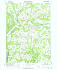
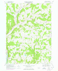
Editions of this 1967 Rome Map
3 editions found
Other maps of this area

1923 · Towanda
USGS Topo · 1:62,500

1926 · Towanda
USGS Topo · 1:62,500

1943 · Towanda
USGS Topo · 1:62,500

1943 · Monroeton
USGS Topo · 1:62,500

1943 · Le Raysville
USGS Topo · 1:62,500

1945 · Le Raysville
USGS Topo · 1:62,500

1945 · Meshoppen
USGS Topo · 1:62,500

1945 · Laceyville
USGS Topo · 1:24,000
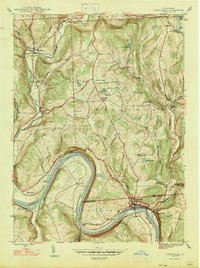
1947 · Laceyville
USGS Topo · 1:24,000

1954 · Williamsport
USGS Topo · 1:250,000