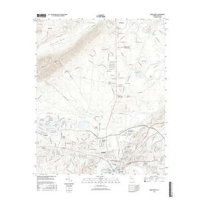
2017 Map of Rome North
USGS Topo · Published 2017About this map
The confluence of the Oostanaula River and the Etowah River forms the Coosa River in the heart of Rome, establishing a historic river-hub geography. This survey documents the urban and institutional landscape of northern Floyd County, dominated by the expansive grounds of Berry College and the neighboring Shorter College. The terrain shifts from the developed streets of West Rome and Riverside to the prominent heights of Lavender Mountain, which separates the city from the Little Texas Valley.
Find a feature on this map
266 named features on this map. Tap any name to fly to it.
Don’t see what you’re looking for? This feature index may not catch every label — zoom into the map to look around manually.
Map Details
Editions of this 2017 Rome North Map
This is the sole edition of this map. No revisions or reprints were ever made.
Other maps of this area

1886 · Rome
USGS Topo · 1:125,000

1898 · Rome
USGS Topo · 1:125,000

1899 · Rome
USGS Topo · 1:125,000

1904 · Rome
USGS Topo · 1:125,000

1955 · Rome
USGS Topo · 1:250,000

1958 · Rome
USGS Topo · 1:250,000

1961 · Rome
USGS Topo · 1:250,000

1963 · Rome
USGS Topo · 1:250,000
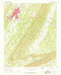
1967 · Summerville
USGS Topo · 1:24,000
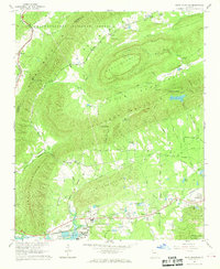
1967 · Rock Mountain
USGS Topo · 1:24,000