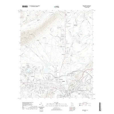
2020 Map of Rome North
USGS Topo · Published 2020About this map
Rome sits at the confluence of the Oostanaula River and the Etowah River, which merge to form the Coosa River at the foot of several prominent heights, including Myrtle Hill, Tower Hill, and Lumpkin Hill. This 2020 layout highlights the expansive grounds of Berry College and the Shorter University campus, illustrating the significant role academic institutions play in the local landscape. The map details the north-to-south transition from the high ridges of Lavender Mtn and Little Texas Valley into the developed riverfront districts of Riverside and West Rome.
Find a feature on this map
259 named features on this map. Tap any name to fly to it.
Don’t see what you’re looking for? This feature index may not catch every label — zoom into the map to look around manually.
Map Details
Editions of this 2020 Rome North Map
This is the sole edition of this map. No revisions or reprints were ever made.
Other maps of this area

1886 · Rome
USGS Topo · 1:125,000

1898 · Rome
USGS Topo · 1:125,000

1899 · Rome
USGS Topo · 1:125,000

1904 · Rome
USGS Topo · 1:125,000

1955 · Rome
USGS Topo · 1:250,000

1958 · Rome
USGS Topo · 1:250,000

1961 · Rome
USGS Topo · 1:250,000

1963 · Rome
USGS Topo · 1:250,000
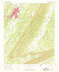
1967 · Summerville
USGS Topo · 1:24,000
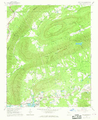
1967 · Rock Mountain
USGS Topo · 1:24,000