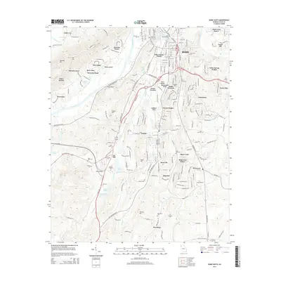
2014 Map of Rome South
USGS Topo · Published 2014About this map
Rome and its southern suburbs are defined by the convergence of the Etowah River and Coosa River in this modern survey. The landscape reflects a mix of established industrial heritage in Lindale and expanding residential developments like Callier Springs Heights, Maplewood Square, and Ridgewood Estates. Higher elevations such as Horseleg Mtn and Mt Alto overlook the river valleys, while local history is preserved in numerous burial grounds including Old Antioch Cem and Rodeph Sholom Cem. The presence of Georgia Highlands Coll south of Vans Valley marks the area's educational development alongside the Norfolk Southern rail lines that connect Atlanta Junction to the surrounding region. Small settlements like Six Mile and Boozeville remain distinct markers of the local geography amidst the complex network of creeks, such as Silver Cr and Booze Cr, that feed into the primary river systems.
Find a feature on this map
210 named features on this map. Tap any name to fly to it.
Don’t see what you’re looking for? This feature index may not catch every label — zoom into the map to look around manually.
Map Details
Editions of this 2014 Rome South Map
This is the sole edition of this map. No revisions or reprints were ever made.
Other maps of this area

1886 · Rome
USGS Topo · 1:125,000

1898 · Rome
USGS Topo · 1:125,000

1899 · Rome
USGS Topo · 1:125,000

1904 · Rome
USGS Topo · 1:125,000

1955 · Rome
USGS Topo · 1:250,000

1958 · Rome
USGS Topo · 1:250,000

1961 · Rome
USGS Topo · 1:250,000

1963 · Rome
USGS Topo · 1:250,000
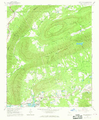
1967 · Rock Mountain
USGS Topo · 1:24,000
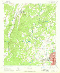
1967 · Cedartown West
USGS Topo · 1:24,000