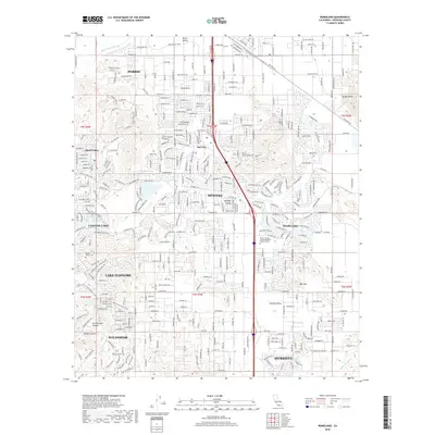
2018 Map of Romoland
USGS Topo · Published 2018About this map
Perris and the surrounding Paloma Valley exhibit the rapid suburban expansion and residential development characteristic of modern Riverside County. This 2018 survey illustrates the complex street networks of master-planned communities like Sun City and Menifee, which have transformed the landscape between the San Jacinto River and the high ground of Double Butte. Significant landmarks for local researchers include the Manker Family Cem and the sprawling Mt San Jacinto College Menifee Valley Campus. The map also details the rugged canyons west of the valley, such as Cottonwood Canyon and Bundy Canyon, which contrast with the developed shoreline of Canyon Lake and the eastern portions of Lake Elsinore. This documentation provides a precise look at the transition from open valley floor to dense residential clusters at the edge of the San Jacinto River floodplain.
Find a feature on this map
36 named features on this map. Tap any name to fly to it.
Don’t see what you’re looking for? This feature index may not catch every label — zoom into the map to look around manually.
Map Details
Editions of this 2018 Romoland Map
This is the sole edition of this map. No revisions or reprints were ever made.
Other maps of this area

1901 · Southern California Sheet No. 1
USGS Topo · 1:250,000

1901 · Elsinore
USGS Topo · 1:125,000

1901 · Riverside
USGS Topo · 1:62,500

1904 · Southern California Sheet No. 1
USGS Topo · 1:250,000

1942 · Lake Elsinore
USGS Topo · 1:62,500

1942 · Murrieta
USGS Topo · 1:62,500

1942 · Riverside
USGS Topo · 1:62,500

1942 · Perris
USGS Topo · 1:62,500

1943 · Perris
USGS Topo · 1:62,500

1943 · Riverside
USGS Topo · 1:62,500